So, how fast is sea level actually rising? The short answer is: faster than we thought, and it’s picking up speed. New data from climate scientists is confirming this acceleration, and it’s painting a picture that demands our attention, even if it’s not always getting the headlines it deserves. We’re not talking about a subtle, slow creep anymore; the pace is demonstrably increasing, and the implications are significant.
The New Math of Ocean Expansion
For a while now, we’ve known that sea levels are on the up. It’s not a secret. However, the latest figures are refining our understanding of just how much and how quickly. Global average sea level is currently rising at about 3.6 millimetres per year. That might sound small – think of it as roughly the thickness of a few credit cards stacked together – but this isn’t a static rate. It’s an average over recent years, and the crucial point is that this average is increasing.
Recent analyses, often drawing on decades of satellite altimetry data (basically satellites bouncing radar off the ocean surface), are providing a clearer, more consistent picture. Early estimates often had wider bands of uncertainty, but as our data collection methods improve and our time series lengthen, the trends become much more robust. It’s like taking more precise measurements with a better ruler over a longer period – you get a much clearer idea of the pattern.
Why the Acceleration is Such a Big Deal
The fact that the rate of sea level rise is accelerating is actually more important than the current annual rate itself. Imagine driving a car. If you’re going at 30 mph, it’s one thing. If you’re going at 30 mph but your foot is firmly on the accelerator and the speed is steadily climbing, it’s a completely different scenario. The acceleration tells us that the forces driving sea level rise are strengthening, and this means future projections need to be revised upwards.
It implies that the future impacts, which we’ll discuss, will arrive sooner and potentially be more severe than models based on a linear, unchanging rate would suggest. It effectively shortens our timeline to adapt and mitigate.
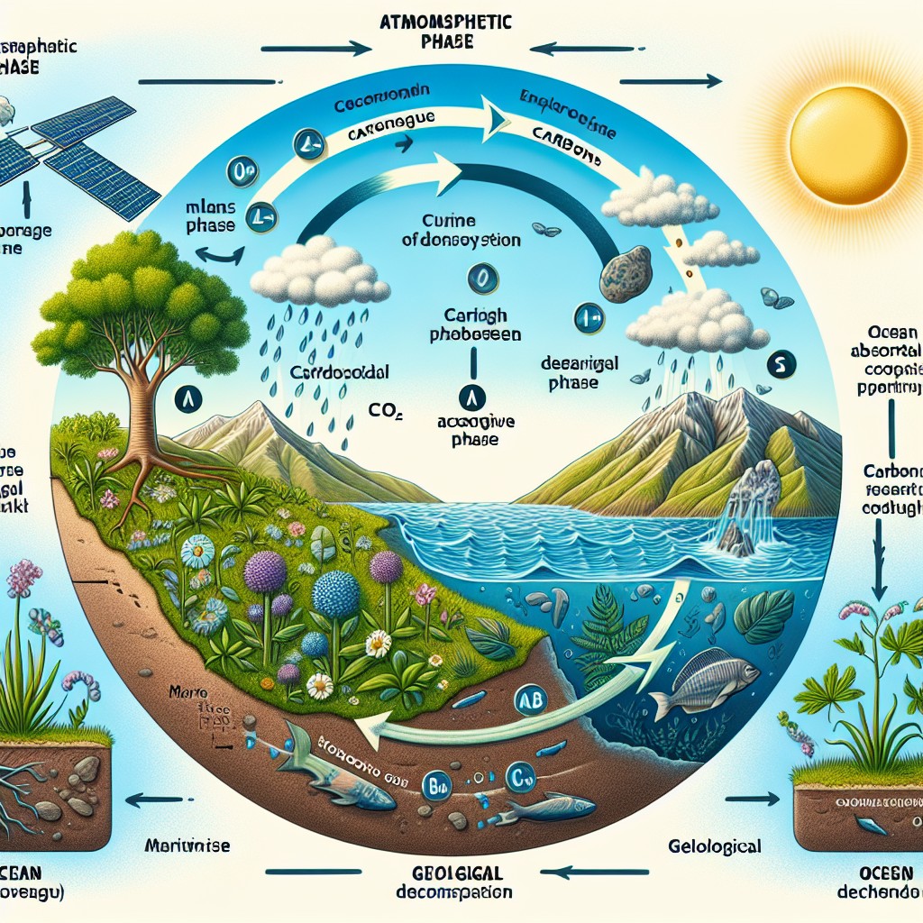
Understanding the mechanisms behind sea level rise is key to grasping why it’s such a persistent and growing issue. It’s not just one thing; it’s a combination of interconnected processes, all largely intensified by human activity.
Thermal Expansion of Ocean Water
This is often overlooked but accounts for a significant portion of sea level rise. As the ocean absorbs heat – and it’s been absorbing a lot of the extra heat trapped by greenhouse gases – the water itself expands.
The Physics of Warm Water
Think of it like boiling a kettle. As the water heats up, it expands slightly. The ocean is no different, just on a much grander scale. This expansion isn’t uniform; deeper parts of the ocean are also warming, contributing to this effect even if it’s less visible on the surface. We’re talking about vast volumes of water, so even seemingly tiny expansions per unit volume add up to a substantial overall increase. Satellite data, combined with readings from Argo floats (robotic probes that drift through the oceans, measuring temperature and salinity), have dramatically improved our understanding of this warming trend throughout the water column.
Melting Ice Sheets and Glaciers
This is probably the most intuitively understood driver of sea level rise, and for good reason: it’s a powerful one. When vast stores of ice, previously locked away on land, melt and flow into the ocean, they add volume directly.
Greenland’s Significant Contribution
The Greenland Ice Sheet is a powerhouse in this regard. It holds enough ice to raise global sea levels by about 7 metres if it were to completely melt. Studies using incredibly detailed satellite gravity measurements (from missions like GRACE and GRACE-FO) have shown that Greenland is losing ice at an accelerating rate. This isn’t just surface melt; warming ocean currents are also eating away at the edges of the ice sheet, destabilising glaciers and causing them to calve icebergs more frequently. The warmer atmosphere melts the surface, and the warmer ocean melts beneath, a double whammy.
Antarctica’s Emerging Role
Antarctica, particularly the West Antarctic Ice Sheet, is another major concern. While the East Antarctic Ice Sheet is generally more stable, the West Antarctic Ice Sheet sits largely below sea level, making it inherently more vulnerable to warm ocean currents. If it were to collapse entirely, it could add several metres to global sea levels. Recent data are showing alarming rates of ice loss in certain regions, notably the Amundsen Sea sector, where glaciers like Pine Island and Thwaites are retreating rapidly. These glaciers are acting as natural buttresses for the rest of the ice sheet; their destabilisation is a worrying sign for the future.
Global Glacier Retreat
Beyond the giant ice sheets, countless mountain glaciers around the world are also shrinking rapidly. From the Himalayas to the Alps, the Andes to Alaska, these glaciers contribute relatively smaller amounts individually, but collectively, their meltwater adds up. Many communities rely on these glaciers for freshwater, so their disappearance poses both sea level concerns and significant local hydrological challenges.
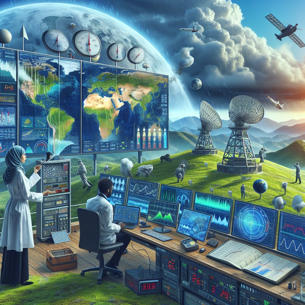
The Role of Latest Satellite Data and Models
Our understanding of sea level rise has truly been revolutionised by technology, particularly satellite observations and increasingly sophisticated climate models.
Satellite Altimetry: Our Eyes on the Ocean
Since the early 1990s, satellites have been precisely measuring the height of the sea surface. Missions like TOPEX/Poseidon, Jason-1, -2, -3, and Sentinel-6 Michael Freilich have provided a near-continuous, global record of sea level change.
Continuous Monitoring and Refined Accuracy
These satellites send radar pulses down to the ocean and measure the time it takes for the pulse to return. This incredibly precise timing allows scientists to determine the ocean’s surface height to within millimetres. The longer this data record becomes, the more reliably scientists can identify trends and, crucially, accelerations. Think of it like taking a perfectly spaced series of identical photographs over decades; patterns that were once fuzzy become undeniably clear. The consistency and global coverage of these measurements are unparalleled.
Gravimetric Missions: Weighing the Ice
Satellites like GRACE (Gravity Recovery and Climate Experiment) and its successor, GRACE-FO (Follow-On), have an ingenious way of measuring changes in massive ice sheets and glaciers.
Measuring Mass Changes
These missions consist of two identical satellites flying in tandem, a few hundred kilometres apart. As they fly over areas with larger or smaller gravitational pull (like a melting ice sheet, which has less mass and thus weaker gravity), the subtle changes in gravity affect the distance between the two satellites. By precisely measuring these tiny changes in distance, scientists can deduce how the mass of ice sheets and glaciers is changing, providing direct evidence of ice loss. This is hugely important because it directly quantifies the amount of melted ice entering the ocean.
Climate Models: Predicting the Future
While observations tell us what is happening, climate models help us understand why and, more importantly, what could happen.
Increasing Sophistication and Specificity
Modern climate models are incredibly complex, incorporating a vast array of physical processes – atmospheric circulation, ocean currents, ice sheet dynamics, carbon cycle feedbacks, and more. They simulate future climate scenarios based on different plausible pathways of greenhouse gas emissions. The latest generation of these models, often part of international efforts like the Intergovernmental Panel on Climate Change (IPCC) reports, are getting better at resolving regional differences in sea level rise and providing more robust projections under various warming scenarios. They are now better integrating complex ice sheet models, which previously were a major source of uncertainty.
Regional Variations and Local Impacts
While we talk about global average sea level rise, it’s vital to remember that “average” doesn’t mean “uniform.” Local impacts can vary significantly, often with profound consequences.
Uneven Distribution of Water
Several factors contribute to these regional differences.
Gravitational Effects of Melting Ice
When a large ice sheet, like Greenland, loses mass, its gravitational pull on nearby ocean water weakens. This can actually cause sea levels to fall slightly in the immediate vicinity of the melting ice, while conversely causing sea levels to rise more than the global average further away. It’s a bit counterintuitive, but it’s a real effect that redistributes ocean water.
Ocean Currents and Thermal Expansion
Ocean currents, driven by wind and temperature differences, also play a huge role. Changes in these currents can redistribute warm water, leading to regional differences in thermal expansion. For example, some areas might experience higher thermal expansion if warm currents are pushing more heat into their waters.
Land Subsidence and Uplift
This is purely a local factor but critical for understanding true relative sea level change. In some areas, the land itself is sinking (subsiding) due to natural geological processes (like post-glacial rebound after the last ice age, or withdrawal of groundwater/oil and gas), or human activities. Where land is sinking, even a modest global sea level rise translates into a much greater effective sea level rise for coastal communities. Conversely, in areas where land is still rebounding from the weight of ancient ice sheets, land might be rising, partially offsetting the global sea level increase. This is why a community in, say, the Thames Estuary might experience very different effective sea level rise than one in Scotland or Scandinavia.
Coastal Vulnerabilities
These regional differences mean that despite a global average, some coastlines are far more vulnerable than others.
Low-Lying Islands and Deltas
Low-lying island nations in the Pacific are particularly at risk. They have little high ground to retreat to and often face very high relative sea level rise. Similarly, major river deltas around the world, like the Ganges-Brahmaputra in Bangladesh or the Nile Delta, are home to huge populations and are often subsiding, exacerbating the problem. Saltwater intrusion into freshwater aquifers and agricultural land is already a significant issue in these areas.
Major Coastal Cities
Many of the world’s largest and most economically important cities are built on coastlines and estuaries. London, New York, Shanghai, Mumbai, Amsterdam – these cities are all facing significant infrastructure challenges, from protecting transport networks and sewage systems to ensuring the viability of coastal industries. The cost of adaptation for these cities runs into astronomical figures.
What Does This Mean for the Future?
The accelerating rate of sea level rise isn’t just an abstract scientific finding; it has concrete implications for how we live and plan for the future.
Revising Future Projections Upwards
The main takeaway from this new data is that previous projections were likely too conservative. The IPCC, for example, regularly updates its projections, and each new assessment tends to show a higher upper bound for sea level rise by the end of the century, particularly under high-emission scenarios.
The Role of “Tipping Points”
A major concern is the possibility of “tipping points” – thresholds beyond which certain parts of the climate system undergo irreversible and rapid changes. For sea level rise, the most discussed tipping points relate to the stability of the West Antarctic Ice Sheet and parts of Greenland. If these ice sheets were to cross such a threshold, their collapse could become unstoppable, leading to metres of sea level rise over relatively short timescales (centuries, rather than millennia), far exceeding current projections for this century. The accelerating ice loss we are now observing raises concerns that we may be getting closer to, or have already passed, some of these thresholds.
Increased Frequency and Severity of Coastal Flooding
Even a modest amount of sea level rise significantly increases the frequency and severity of coastal flooding.
“Sunny Day Flooding” Becomes More Common
We’re already seeing “nuisance flooding” or “sunny day flooding” becoming more common in places like Miami and Annapolis – flooding that happens even without heavy rain or storm surges, simply because high tides are starting higher up. As sea levels continue to rise, these events will become more routine and extend further inland, impacting infrastructure, disrupting daily life, and causing economic damage.
Enhanced Storm Surge Risk
When a storm hits a coast where sea levels are higher, the storm surge (the abnormal rise of water generated by a storm, over and above the predicted astronomical tide) can penetrate much further inland and cause more extensive damage. This means that a storm that might have been manageable in the past could become catastrophic with just a few tens of centimetres of additional sea level rise. Critical infrastructure near coastlines, from power stations to transport hubs, is at increasing risk.
Urgent Need for Adaptation and Mitigation
The accelerating pace of sea level rise underscores the urgency of both reducing greenhouse gas emissions (mitigation) and preparing for the unavoidable changes (adaptation).
Hard and Soft Defences
Adaptation strategies include “hard” engineering solutions like building sea walls, dikes, and barrages (like the Thames Barrier keeping London safe). However, these are often expensive, have environmental impacts, and can only do so much. “Soft” solutions, like restoring coastal wetlands and mangrove forests, can provide natural flood defences and ecological benefits, but they also have limits and require careful planning.
Managed Retreat and Relocation
In some highly vulnerable areas, particularly low-lying islands or extensively subsiding deltas, managed retreat or strategic relocation of communities may eventually become the only viable option. This is a socially and economically challenging prospect, requiring long-term planning, resources, and difficult conversations with affected populations. Doing this proactively and thoughtfully is far better than being forced into chaotic, reactive relocation by disaster.
The new data isn’t sugarcoating things. Sea level rise is accelerating, driven by warming oceans and melting ice, and it demands our serious and sustained attention.
FAQs
What is the current rate of sea level rise?
The current rate of global sea level rise is approximately 3.3 millimeters per year, according to data from satellite measurements.
What are the main contributors to sea level rise?
The main contributors to sea level rise are thermal expansion of seawater due to global warming, and the melting of glaciers and ice sheets.
How does sea level rise impact coastal areas?
Sea level rise can lead to increased coastal erosion, flooding, and saltwater intrusion into freshwater sources. It also poses a threat to coastal infrastructure and ecosystems.
What are the potential future projections for sea level rise?
According to scientific models, sea level rise is expected to accelerate in the coming decades, with projections ranging from 0.3 to 1 meter by the end of the century, depending on future greenhouse gas emissions.
What are scientists warning about regarding sea level rise?
New data scientists are warning about the potential for faster and more significant sea level rise than previously anticipated, due to the rapid melting of polar ice sheets and the destabilization of Antarctic glaciers.