

Anti-poaching measures and wildlife trafficking prevention
The illegal hunting of wildlife, commonly referred to as poaching, poses a significant threat to biodiversity and the delicate balance
Anti-poaching measures and wildlife trafficking prevention Read More »

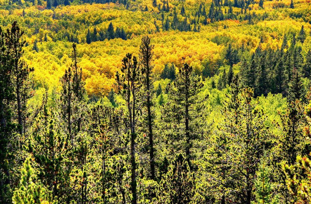
Protected areas and national parks
Protected areas and national parks serve as vital sanctuaries for the preservation of natural ecosystems and the myriad species that
Protected areas and national parks Read More »

Political Boundaries of Saudi Arabia: Provinces, Districts, or Historical Boundaries.
Saudi Arabia, officially known as the Kingdom of Saudi Arabia (KSA), is a nation steeped in rich history and cultural
Political Boundaries of Saudi Arabia: Provinces, Districts, or Historical Boundaries. Read More »
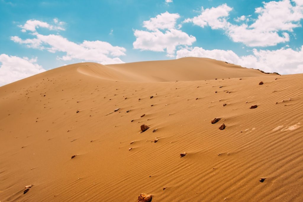
Terrain and Topography of Saudi Arabia: mountains, valleys, and plains.
Saudi Arabia, a vast kingdom located on the Arabian Peninsula, is renowned for its diverse and striking terrain. Spanning approximately
Terrain and Topography of Saudi Arabia: mountains, valleys, and plains. Read More »
Climate Zones of Saudi Arabia: Different climate regions Of Saudi Arabia
Saudi Arabia, a vast nation located on the Arabian Peninsula, is renowned for its diverse climate zones, each contributing to
Climate Zones of Saudi Arabia: Different climate regions Of Saudi Arabia Read More »

History of Saudi Arabia
Before the advent of Islam, Arabia was a land characterised by a rich tapestry of tribal societies, each with its
History of Saudi Arabia Read More »
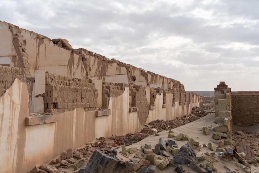
Cultural or Historical Sites of Saudi Arabia: Important Cultural Landmarks or Historical Sites In Saudi Arabia
Saudi Arabia, a nation steeped in rich history and diverse culture, is home to a plethora of historical sites that
Natural Resources of Saudi Arabia: Where Natural Resources are Located in Saudi Arabia
Saudi Arabia, a nation steeped in rich history and cultural heritage, is equally renowned for its vast and diverse natural
Natural Resources of Saudi Arabia: Where Natural Resources are Located in Saudi Arabia Read More »

Wildlife Conservation and Anti-Poaching Efforts
Wildlife conservation is a critical endeavour that seeks to protect the planet’s biodiversity and ensure the survival of various species.
Wildlife Conservation and Anti-Poaching Efforts Read More »

Citizen science and public participation in conservation
In recent years, the concept of citizen science has gained significant traction within the realm of conservation. This movement, which
Citizen science and public participation in conservation Read More »