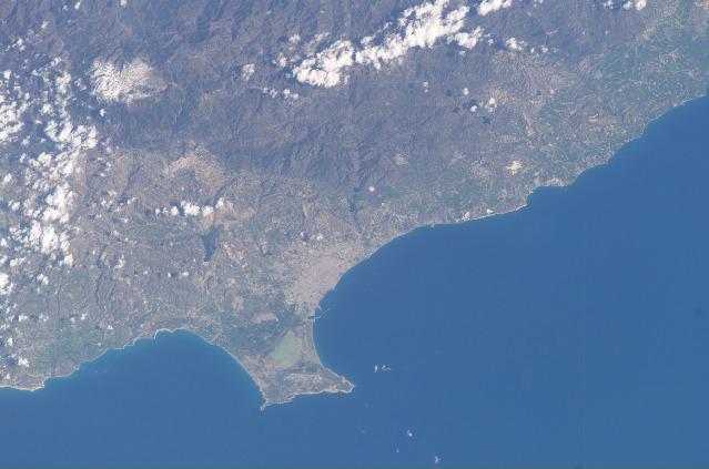
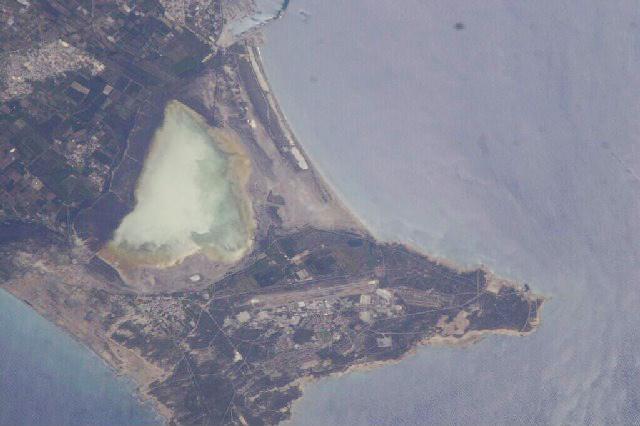
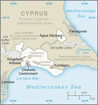
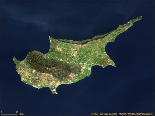
Akrotiri and Dhekelia

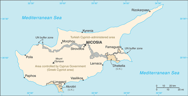
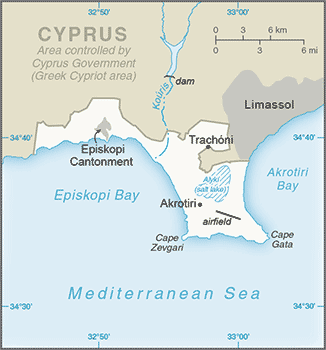
Capital: Episkopi
Population (Estimated July 2012): 7,000 Cypriots and 7,500 British Military and Families.
Area: 256km2 or 99mi2
Currency: Euro
Official Language: English and Greek
Political Information: Sovereign Base Area (U.K.)
Official Religion: No Official Religion
Economy: All goods and services are imported and funded by the government of the United Kingdom.
Time Zone (GMT/UTC): + 2:00
Leaders: H.M. Queen Elizabeth II; Administrator Air Vice Marshall Graham Stacey.
Sources: CIA World Fact Book, and Encyclopaedia Britannica.

No Results Found
The page you requested could not be found. Try refining your search, or use the navigation above to locate the post.


