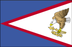
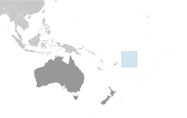
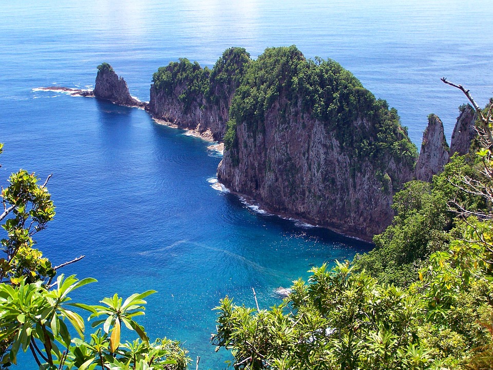
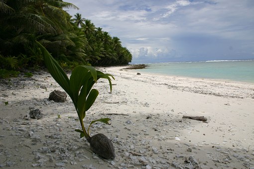
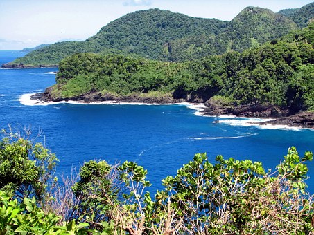
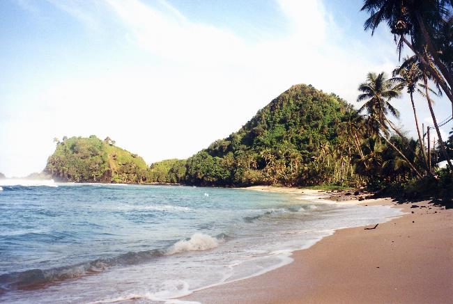
American Samoa
(Amerika Samoa)
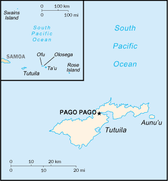

Capital: Pago Pago
Population (Estimated July 2012): 68,061
Area: 200km2 or 77mi2
Currency: United States Dollar (U.S.$)
Official Language: English; Samoan
Political Information: Unincorporated and unorganized territory of the US
Official Religion: No Official Religion (approximately 50% of the population is Christian Congregationalist, 20% are Roman Catholic and 30% are either protestant or have other religious beliefs)
Highest Mountain: Lata Mountain at 964m or 3162 feet
GDP Official Exchange Rate (OER is more precise at gauging a countries economic power)
(Estimated 2005): $462.2 million (US$) or (GBP)
GDP (OER) Per Capita (per member of the population estimated 2011): (US$) or (GBP)
GDP Purchasing Power Parity (PPP is good for gauging living conditions and use of resources but not as accurate as OER. This data has been calculated based on the sum value of all goods and services produced in the country valued at prices prevailing in the United States)
(Estimated 2007): $575.3 million (US$) or (GBP)
GDP (PPP) Per Capita (per member of the population estimated 2007): $8,000 (US$) or (GBP)
Time Zone (GMT/UTC): -11:00
Counties/Provinces/States: three districts and two islands at the second order; Eastern, Manu’a, Rose Island, Swains Island, Western
Sources: CIA World Fact Book, Encyclopaedia Britannica.


No Results Found
The page you requested could not be found. Try refining your search, or use the navigation above to locate the post.


