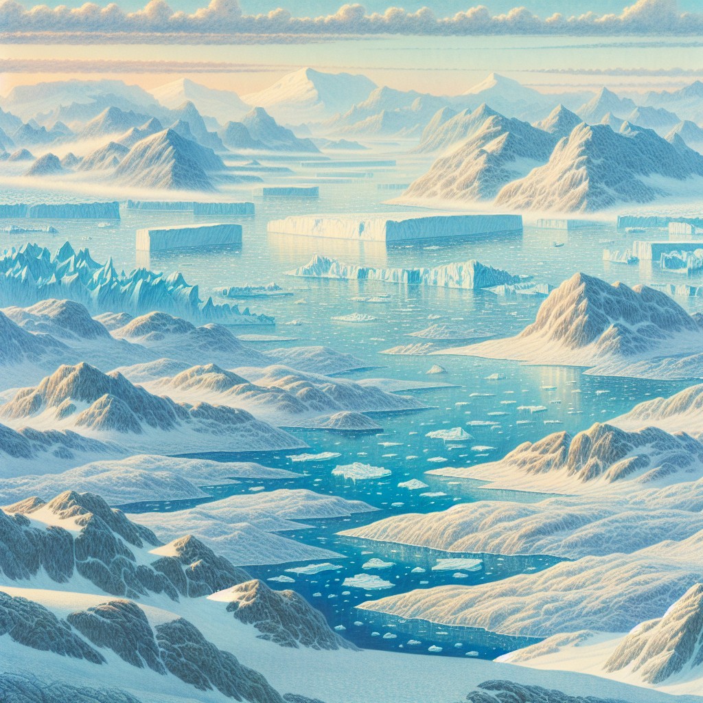
Terrain and Topography of Greenland: mountains, valleys, and plains.
Greenland, the world’s largest island, is renowned for its stunning and diverse terrain and topography. The landscape of Greenland is […]
Terrain and Topography of Greenland: mountains, valleys, and plains. Read More »