Political boundaries in Ghana refer to the demarcation lines that separate different administrative units within the country. These boundaries are crucial for the governance and administration of the country, as they determine the allocation of resources, representation, and the implementation of policies and laws. Ghana is located in West Africa and is bordered by Côte d’Ivoire to the west, Burkina Faso to the north, Togo to the east, and the Gulf of Guinea to the south. The country is divided into administrative regions, districts, and local governance areas, each with its own set of boundaries and responsibilities. The political boundaries in Ghana have evolved over time, influenced by historical, cultural, and geographical factors. Understanding these boundaries is essential for comprehending the governance and development of the country.
Ghana’s political boundaries play a significant role in shaping the country’s governance and development. The demarcation of administrative regions, districts, and local governance areas determines the allocation of resources, representation, and the implementation of policies and laws. These boundaries are essential for effective governance and administration, as they provide a framework for decision-making and resource allocation. Understanding the political boundaries in Ghana is crucial for comprehending the country’s governance structure and the challenges it faces. In this article, we will explore the provinces and administrative regions in Ghana, the historical boundaries of the country, as well as the impact of political boundaries on development and governance. We will also discuss the challenges and issues with political boundaries in Ghana and the future prospects for their evolution.
Summary
- Ghana is a country in West Africa with a complex system of political boundaries.
- The country is divided into 16 administrative regions, each with its own unique characteristics and governance structure.
- Districts play a crucial role in local governance and are responsible for implementing government policies at the grassroots level.
- Ghana’s historical boundaries have been shaped by colonialism, independence movements, and tribal conflicts.
- Challenges with political boundaries in Ghana include boundary disputes, resource allocation, and ethnic tensions.
Provinces and Administrative Regions in Ghana
Ghana is divided into sixteen administrative regions, each with its own unique characteristics and governance structure. The administrative regions are further divided into districts, which are the primary units of local governance in the country. The regions are named after their respective capitals and are governed by regional ministers appointed by the President of Ghana. Each region has its own administrative headquarters, which serves as the center for coordinating government activities and services within the region. The administrative regions play a crucial role in the decentralization of governance and the delivery of public services to the population.
The administrative regions in Ghana serve as important units for governance and administration. They play a crucial role in decentralizing governance and ensuring that public services are delivered effectively to the population. The regional ministers are responsible for coordinating government activities within their respective regions and ensuring that policies and programs are implemented effectively. The administrative regions also serve as important units for representation, as they provide a framework for political participation and decision-making at the regional level. Understanding the provinces and administrative regions in Ghana is essential for comprehending the country’s governance structure and the distribution of resources and services.
Districts and Local Governance in Ghana
Ghana is divided into 260 districts, each with its own district assembly responsible for local governance and development. The district assemblies are made up of elected representatives from the various communities within the district, as well as government appointees. The district assemblies are responsible for planning, coordinating, and implementing development projects within their respective districts. They also play a crucial role in mobilizing resources, promoting local economic development, and providing essential services to the population. The district assemblies are an important part of Ghana’s decentralized governance structure, as they ensure that decision-making and resource allocation are done at the local level.
The districts in Ghana serve as important units for local governance and development. They play a crucial role in ensuring that resources are allocated effectively and that development projects are implemented to meet the needs of the local population. The district assemblies are responsible for coordinating government activities within their respective districts and ensuring that policies and programs are implemented effectively. They also serve as important units for political representation, as they provide a framework for local participation in decision-making and governance. Understanding the districts and local governance in Ghana is essential for comprehending the country’s decentralized governance structure and the delivery of public services to the population.
Historical Boundaries of Ghana
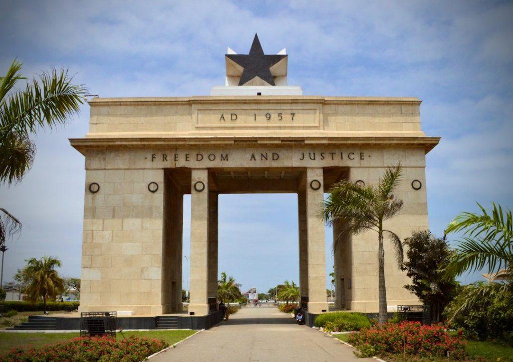
The boundaries of present-day Ghana have been shaped by historical events, colonialism, and cultural factors. Prior to colonization, the area now known as Ghana was home to several powerful kingdoms and empires, each with its own territorial boundaries. The boundaries of these kingdoms were often determined by natural features such as rivers, mountains, and forests, as well as by agreements and conflicts with neighboring states. The arrival of European colonial powers in the 15th century led to significant changes in the territorial boundaries of the region. The area was divided into several colonies, including the Gold Coast, which was under British control, and Togoland, which was under German control. After gaining independence from colonial rule in 1957, Ghana’s boundaries were further defined through negotiations with neighboring countries.
The historical boundaries of Ghana have been shaped by a complex interplay of historical events, colonialism, and cultural factors. The territorial boundaries of present-day Ghana were influenced by the presence of powerful kingdoms and empires prior to colonization, as well as by agreements and conflicts with neighboring states. The arrival of European colonial powers led to significant changes in the territorial boundaries of the region, as it was divided into several colonies under British and German control. After gaining independence, Ghana’s boundaries were further defined through negotiations with neighboring countries. Understanding the historical boundaries of Ghana is essential for comprehending the country’s territorial integrity and its relationships with neighboring states.
Challenges and Issues with Political Boundaries in Ghana
Despite their importance for governance and administration, political boundaries in Ghana face several challenges and issues that impact their effectiveness. One major challenge is the issue of boundary disputes between neighboring communities or districts. These disputes often arise due to unclear demarcation lines or conflicting historical claims to land or resources. Boundary disputes can lead to tensions between communities, hinder development projects, and create difficulties in resource allocation and service delivery. Another challenge is the issue of unequal distribution of resources and development projects across different regions and districts. This can lead to disparities in access to essential services such as healthcare, education, and infrastructure, contributing to social inequality and marginalization.
Another challenge with political boundaries in Ghana is the issue of inadequate capacity at the local level to effectively manage governance responsibilities. Many district assemblies lack the necessary resources, expertise, and capacity to plan and implement development projects effectively. This can hinder local economic development and service delivery to the population. Additionally, there is a lack of effective coordination between different levels of governance, leading to inefficiencies in resource allocation and service delivery. These challenges highlight the need for reforms in Ghana’s governance structure to address issues related to political boundaries.
The Impact of Political Boundaries on Development and Governance
The political boundaries in Ghana have a significant impact on development and governance within the country. The demarcation of administrative regions, districts, and local governance areas determines how resources are allocated, policies are implemented, and services are delivered to the population. Effective governance at all levels is crucial for sustainable development, social cohesion, and economic growth. However, challenges such as boundary disputes, unequal resource distribution, and inadequate capacity at the local level can hinder effective governance and development.
The impact of political boundaries on development is particularly evident in issues such as access to essential services, infrastructure development, and economic opportunities. Disparities in resource allocation across different regions can lead to unequal access to healthcare, education, and other essential services. This can contribute to social inequality and marginalization within the country. Additionally, inadequate capacity at the local level can hinder effective planning and implementation of development projects, impacting local economic growth and service delivery.
Future Prospects for Political Boundaries in Ghana
The future prospects for political boundaries in Ghana lie in addressing the challenges and issues that currently impact their effectiveness. Reforms are needed to improve coordination between different levels of governance, enhance capacity at the local level, and address boundary disputes effectively. Strengthening local governance structures through capacity building initiatives can improve planning and implementation of development projects at the district level.
Additionally, efforts should be made to ensure equal distribution of resources across different regions to address disparities in access to essential services. This can be achieved through transparent resource allocation mechanisms that take into account the specific needs of each region. Furthermore, promoting dialogue and cooperation between neighboring communities or districts can help resolve boundary disputes peacefully.
In conclusion, political boundaries play a crucial role in shaping governance and development in Ghana. Understanding these boundaries is essential for comprehending the country’s governance structure and addressing challenges related to resource allocation, service delivery, and social inequality. By addressing these challenges effectively through reforms at all levels of governance, Ghana can work towards a more equitable distribution of resources and sustainable development across its administrative regions and districts.
FAQs
What are the political boundaries of Ghana?
The political boundaries of Ghana are divided into regions, districts, and constituencies.
How many regions are there in Ghana?
There are 16 regions in Ghana, including the Greater Accra Region, Ashanti Region, Western Region, and others.
What are districts in Ghana?
Districts in Ghana are administrative divisions within the regions, each with its own local government authority.
How many districts are there in Ghana?
As of 2021, there are 260 districts in Ghana.
What are constituencies in Ghana?
Constituencies in Ghana are electoral areas represented by Members of Parliament in the national government.
What are historical boundaries in Ghana?
Historical boundaries in Ghana refer to the traditional and cultural divisions that existed before the modern administrative divisions were established. These boundaries are often based on ethnic and tribal affiliations.