Exploring the Rich Flora and Fauna of Comoros
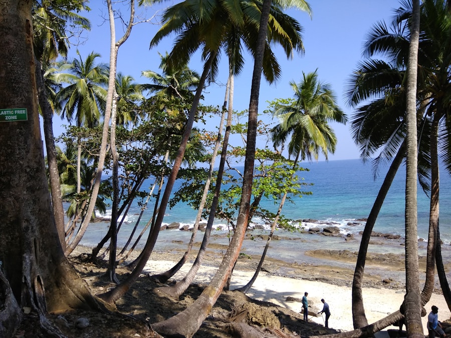
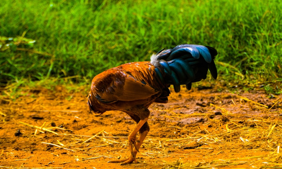
The Comoros, an archipelago nestled in the Indian Ocean, lies off the eastern coast of Africa, between Madagascar and Mozambique. […]
Exploring the Rich Flora and Fauna of Comoros Read More »
The Comoros, an archipelago nestled in the Indian Ocean, lies off the eastern coast of Africa, between Madagascar and Mozambique. […]
Exploring the Rich Flora and Fauna of Comoros Read More »
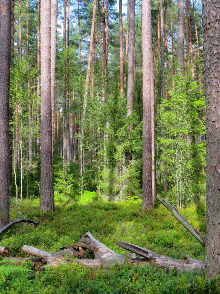
Estonia, a small Baltic nation nestled between the Gulf of Finland and the Baltic Sea, boasts a remarkably diverse natural
Exploring Estonia’s Diverse Flora and Fauna Read More »

Switzerland is renowned for its breathtaking landscapes, which are not merely picturesque but also host a remarkable variety of ecosystems.
Discovering the Rich Flora and Fauna of Switzerland Read More »
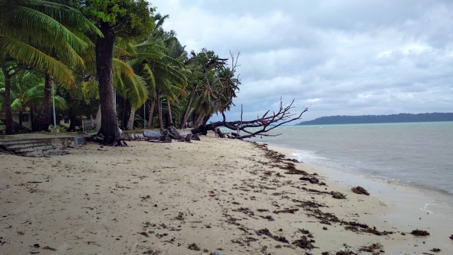
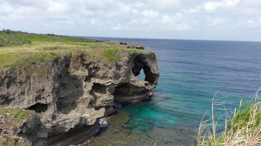
The Cocos (Keeling) Islands, a remote Australian territory located in the Indian Ocean, comprise a stunning archipelago of 27 coral
Exploring the Biodiversity of Cocos (Keeling) Islands Read More »
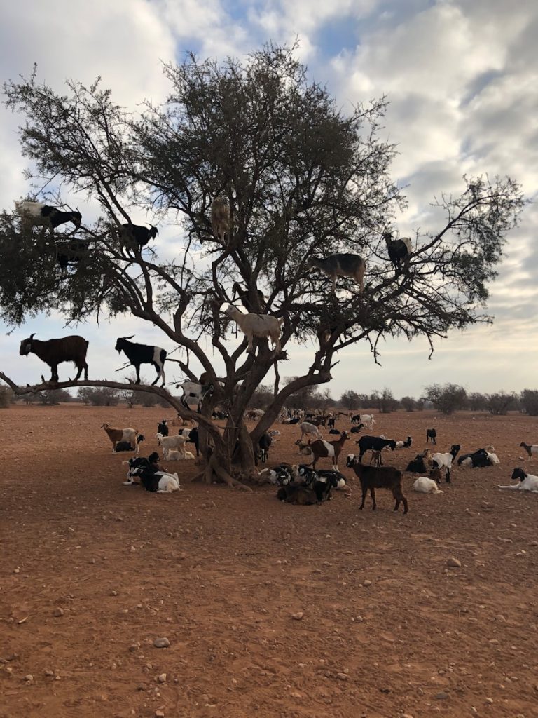
Chad, a landlocked country in north-central Africa, is characterised by its remarkable diversity of ecosystems, which range from arid deserts
Exploring Chad’s Rich Flora and Fauna Read More »
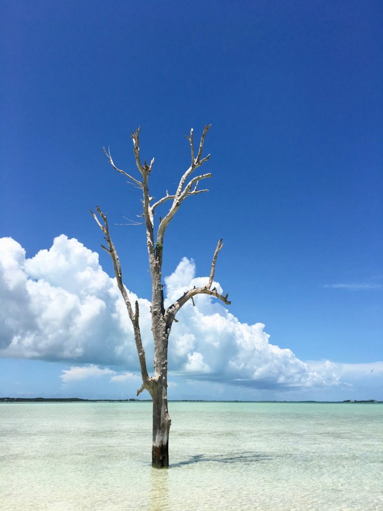
Niue, a small island nation located in the South Pacific Ocean, is renowned for its remarkable biodiversity, which is a
Exploring Niue’s Rich Flora and Fauna Read More »
Kiribati, an island nation located in the central Pacific Ocean, is renowned for its unique biodiversity, which is intricately linked
Exploring the Rich Flora and Fauna of Kiribati Read More »
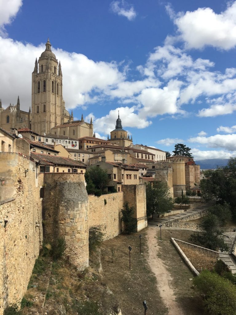
Spain is a country characterised by its remarkable ecological diversity, which is a result of its varied geography, climate, and
Exploring Spain’s Rich Flora and Fauna Read More »
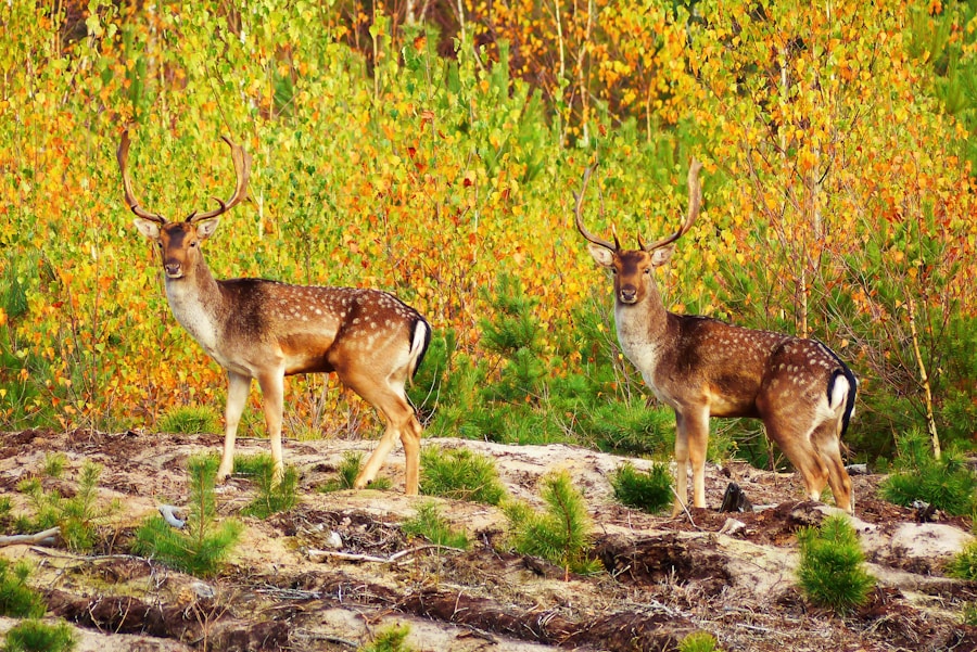
Canada is a vast and diverse country, renowned for its stunning landscapes and rich natural heritage. Spanning over 9.98 million
Exploring the Flora and Fauna of Canada Read More »
The Central African Republic (CAR) is a landlocked nation that boasts a remarkable array of wildlife, making it one of
Exploring the Wildlife of Central African Republic Read More »
Nauru, a small island nation located in the Pacific Ocean, is often overlooked in discussions about biodiversity due to its
Discovering Nauru’s Unique Flora and Fauna Read More »
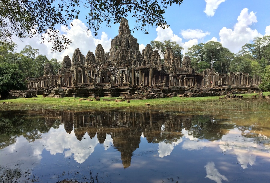
Cambodia, a nation steeped in rich history and cultural heritage, is also home to an astonishing array of biodiversity. Nestled
Exploring Cambodia’s Rich Flora and Fauna Read More »