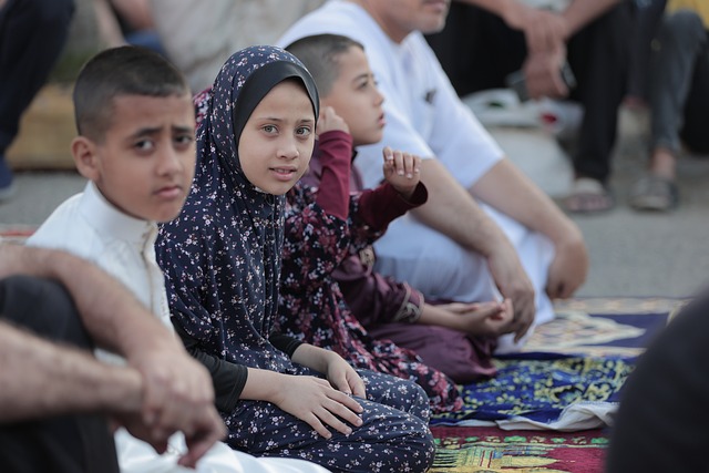
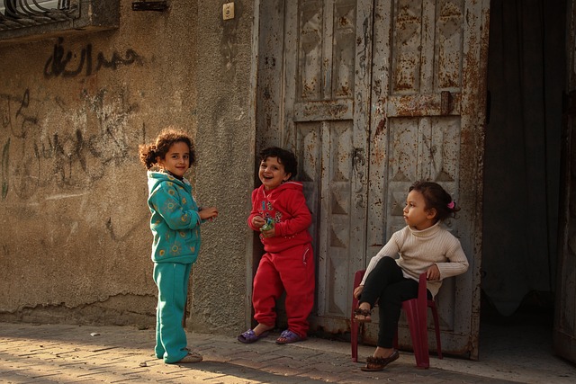
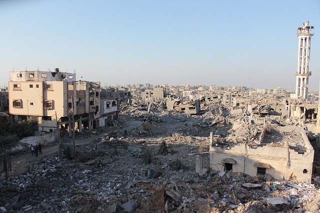
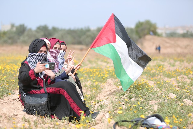
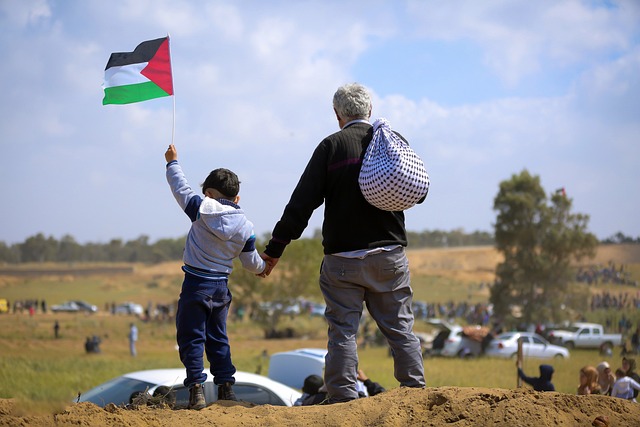
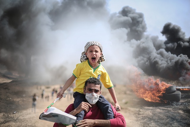
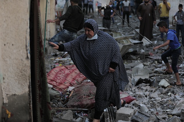
Gaza (The Gaza Strip (قطاع غزة‎ (Arabic) Qiṭā Ġazzah))

The Gaza Strip

(قطاع غزة (Arabic) Qiṭā Ġazzah)

Palestinian Flag
Map showing the Gaza Strip bordered by Egypt, Israel, and the Mediterranean Sea. Major cities—Gaza, Deir al Balah, Khan Younis, and Rafah—are marked, along with the 1950 Armistice Line and Gaza International Airport.
Asian Continent
A grey map of the Middle East and surrounding regions with a small area in the eastern Mediterranean, corresponding to Lebanon, highlighted in blue.
A large crowd gathers outdoors on a dusty field, with people in the foreground and many more in the distance. Some individuals are raising their arms and the atmosphere appears tense or chaotic. Tents and vehicles are visible in the background.
Four people wearing headscarves sit on the ground in a field, facing away from the camera. Two of them hold Palestinian flags, and wildflowers are visible in the foreground.
A group of men carry an injured person with bloodied legs across a sandy area, whilst a crowd watches and smoke rises in the background, suggesting a scene of conflict or emergency.
A person wearing a bandana jumps in front of thick black smoke and burning tyres, holding a catapult. The scene suggests a protest or conflict situation with intense atmosphere.

Capital: Gaza (Main City)

Population (Estimated July 2012): 1,710,257

Area: 365 km2 or 140 mi2

Currency: 

Official Language: Arabic, Hebrew.

Political Information: Palestinian territory

Official Religion: Muslim
 (approximately 99.3% of the population are Muslim (predominantly Sunni Muslim) and 0.7% are Christian)

Highest Point: Abu ‘Awdah (Joz Abu ‘Awdah) at 105m or 344ft

Largest River:

Time Zone (GMT/UTC): +2:00

 Wildlife:


Governorates: Dier al-Balah, Gaza City, Khan Yunis, North Gaza, Rafah.

No Results Found

The page you requested could not be found. Try refining your search, or use the navigation above to locate the post.

Leave a Comment

Your email address will not be published. Required fields are marked *

Scroll to Top