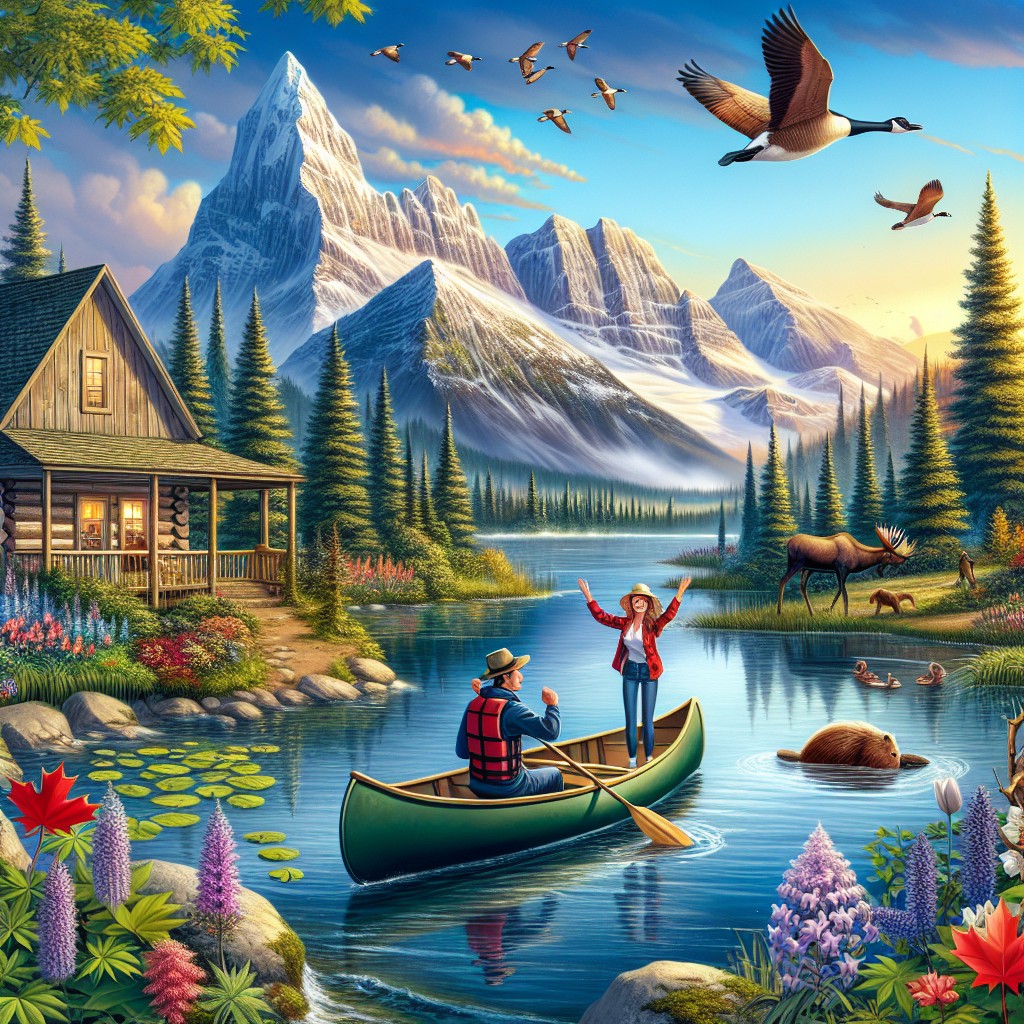
Canada is a vast country with diverse landscapes and a rich history. Understanding its political boundaries is crucial for both Canadians and non-Canadians alike. This article will provide a comprehensive overview of Canada’s political system, including its provinces and territories, the historical significance of its boundaries, the role of districts in Canadian politics, the evolution of its boundaries over time, the importance of boundaries in Canadian federalism, the impact on Indigenous communities, the challenges of maintaining boundaries, the role in international relations, and predictions for the future.
Summary
- Canada is divided into provinces and territories, which are the main political divisions of the country.
- The historical significance of Canada’s political boundaries can be traced back to the country’s colonial past.
- Districts play an important role in Canadian politics, as they are used to elect members of parliament.
- Canada’s political boundaries have evolved over time, reflecting changes in the country’s demographics and political landscape.
- Boundaries are important in Canadian federalism, as they help to define the powers and responsibilities of different levels of government.
Provinces and Territories: The Main Political Divisions of Canada
Canada is divided into 10 provinces and 3 territories. The provinces are British Columbia, Alberta, Saskatchewan, Manitoba, Ontario, Quebec, New Brunswick, Prince Edward Island, Nova Scotia, and Newfoundland and Labrador. The territories are Yukon, Northwest Territories, and Nunavut. Each province and territory has its own government and is responsible for various aspects of governance such as healthcare, education, and transportation.
There are several key differences between provinces and territories. Provinces have more autonomy and power compared to territories. They have their own constitutions and can make decisions on matters such as natural resources and taxation. Territories, on the other hand, have less autonomy and are governed by federal legislation. They rely heavily on federal funding for their operations.
The provinces and territories play a significant role in Canadian politics. They have the power to make decisions that affect their residents’ daily lives. They also have representation in the federal government through Members of Parliament (MPs) and Senators. The provinces and territories work together with the federal government to ensure the smooth functioning of the country.
The Historical Significance of Canada’s Political Boundaries
Canada’s political boundaries were established through a series of historical events. The country’s origins can be traced back to European colonization in the 15th century when explorers from France and England arrived on its shores. The British eventually gained control of most of what is now Canada, while France retained control of Quebec.
One of the key events that shaped Canada’s political boundaries was the Confederation of 1867. This was when the British colonies of Canada, New Brunswick, and Nova Scotia came together to form a federal Dominion. This laid the foundation for the country’s political system and established the provinces as distinct political entities.
Another significant event was the addition of new provinces and territories over time. Manitoba joined Confederation in 1870, followed by British Columbia in 1871, Prince Edward Island in 1873, and Alberta and Saskatchewan in 1905. The Northwest Territories were divided into two separate territories, Yukon and Northwest Territories, in 1898. Finally, Nunavut was created in 1999 as a result of a land claims agreement with Indigenous peoples.
These historical events have had a lasting impact on Canada’s political system. They have shaped the boundaries of the provinces and territories and influenced the distribution of power between the federal government and the provinces.
Understanding the Role of Districts in Canadian Politics
In Canadian politics, districts play a crucial role in elections at both the federal and provincial levels. A district, also known as an electoral district or riding, is a geographical area represented by a Member of Parliament (MP) or Member of Provincial Parliament (MPP).
Districts are created based on population size to ensure fair representation. The boundaries of districts are redrawn periodically to reflect changes in population. This process is known as redistribution or redistricting.
During elections, voters in each district elect their representative to the federal or provincial legislature. The candidate who receives the most votes in a district wins and becomes the MP or MPP for that area. This system allows for local representation and ensures that different regions of Canada have a voice in government.
The importance of districts in Canadian politics cannot be overstated. They help to ensure that all citizens have a say in the political process and that their interests are represented. Districts also play a role in shaping the political landscape by determining which party has the most seats in the legislature.
The Evolution of Canada’s Political Boundaries: A Brief History
Canada’s political boundaries have changed significantly over time. The country started with just a few British colonies and has grown to include 10 provinces and 3 territories.
One of the main reasons for boundary changes is population growth and demographic shifts. As more people settled in different parts of the country, new provinces and territories were created to accommodate their needs. For example, Alberta and Saskatchewan were carved out of the Northwest Territories to accommodate the growing population in the western part of Canada.
Another reason for boundary changes is the result of negotiations and agreements with Indigenous peoples. Indigenous land claims have been an ongoing issue in Canada, and the government has made efforts to address these claims through treaties and land settlements. This has led to the creation of new territories such as Nunavut, which was established as a result of a land claims agreement with Inuit communities.
Boundary changes have had a significant impact on Canadian politics. They have influenced the distribution of power between the federal government and the provinces, as well as the representation of different regions in government. They have also shaped the cultural and linguistic diversity of Canada, with Quebec being a distinct province with its own language and culture.
The Importance of Boundaries in Canadian Federalism
Federalism is a key feature of Canada’s political system. It is a system of government in which power is divided between a central authority (the federal government) and regional authorities (the provinces and territories). Boundaries play a crucial role in defining the jurisdictional boundaries between these levels of government.
Boundaries help to delineate the areas of responsibility for each level of government. The federal government is responsible for matters of national importance, such as defense, foreign affairs, and trade. The provinces and territories, on the other hand, have jurisdiction over areas such as healthcare, education, and natural resources.
Boundaries also impact the relationship between the federal and provincial governments. They help to define the limits of federal power and ensure that the provinces have a degree of autonomy. This allows for regional differences to be taken into account and for policies to be tailored to the specific needs of each province or territory.
The Impact of Canada’s Political Boundaries on Indigenous Communities
Canada’s political boundaries have had a significant impact on Indigenous communities. The establishment of political boundaries by European colonizers resulted in the displacement and marginalization of Indigenous peoples.
Historically, Indigenous communities had their own territories and governance systems. However, with the arrival of European settlers, their lands were taken away through treaties, land seizures, and forced relocations. This led to the loss of traditional territories and disrupted Indigenous governance structures.
Today, Indigenous communities continue to assert their sovereignty and challenge the political boundaries imposed on them. Land claims and self-government agreements are ongoing issues in Canada, as Indigenous peoples seek to regain control over their traditional lands and exercise self-determination.
The impact of political boundaries on Indigenous communities is not just limited to land rights. It also affects access to resources, healthcare, education, and other essential services. Many Indigenous communities face significant challenges in terms of poverty, unemployment, and social inequality.
The Challenges of Maintaining Canada’s Political Boundaries
Maintaining Canada’s political boundaries is not without its challenges. One of the main challenges is population growth and demographic changes. As the population increases, there is a need to redraw district boundaries to ensure fair representation. This can be a complex process that requires careful consideration of various factors such as population size, geographic features, and community interests.
Another challenge is the role of technology in changing the way we think about boundaries. With advancements in communication and transportation, the concept of physical boundaries is becoming less relevant. People can now connect and interact with each other across vast distances, blurring the lines between different regions.
Technology also poses challenges in terms of cybersecurity and data privacy. As more government services and information are digitized, there is a need to ensure the security and integrity of data. This requires robust cybersecurity measures and policies to protect against cyber threats.
Canada’s Political Boundaries and International Relations
Canada’s political boundaries have a significant impact on its international relations. Borders play a crucial role in trade and immigration, as they determine who can enter and exit the country. Canada has a long history of immigration, and its political boundaries have been shaped by waves of immigrants from different parts of the world.
Borders also play a role in security and defense. Canada shares borders with the United States, which is its largest trading partner and closest ally. The border between Canada and the United States is one of the longest and busiest in the world, with millions of people crossing it each year.
International events can also impact Canada’s political boundaries. For example, changes in global politics or conflicts in other parts of the world can lead to an influx of refugees or changes in immigration policies. This can have implications for Canada’s border security and immigration system.
The Future of Canada’s Political Boundaries: Trends and Predictions
The future of Canada’s political boundaries is uncertain, but there are several trends that may shape their evolution. One trend is the increasing importance of urban areas. As cities continue to grow in population and economic importance, there may be a shift in political power from rural to urban areas. This could lead to changes in district boundaries and a reconfiguration of political representation.
Another trend is the increasing recognition of Indigenous rights and self-determination. Indigenous communities are asserting their sovereignty and challenging the political boundaries imposed on them. This could lead to the creation of new territories or the expansion of existing ones.
Climate change is also likely to have an impact on Canada’s political boundaries. Rising sea levels and changing weather patterns could result in the displacement of communities and the need for new boundaries to be established.
Understanding Canada’s political boundaries is essential for both Canadians and non-Canadians alike. The country’s provinces and territories play a significant role in its political system, and the historical events that shaped its boundaries have had a lasting impact. Districts are crucial in ensuring fair representation, and the evolution of Canada’s political boundaries has been influenced by population growth, Indigenous rights, and international events. Maintaining these boundaries poses challenges, but they are crucial for maintaining Canada’s federal system and international relations. The future of Canada’s political boundaries is uncertain, but trends such as urbanization, Indigenous rights, and climate change are likely to shape their evolution.
FAQs
What are the political boundaries of Canada?
Canada is divided into 10 provinces and 3 territories. The provinces are Alberta, British Columbia, Manitoba, New Brunswick, Newfoundland and Labrador, Nova Scotia, Ontario, Prince Edward Island, Quebec, and Saskatchewan. The territories are Northwest Territories, Nunavut, and Yukon.
What is the difference between a province and a territory?
The main difference between a province and a territory is that provinces have more powers and responsibilities than territories. Provinces have their own governments and are responsible for areas such as healthcare, education, and natural resources. Territories are governed by the federal government and have fewer powers and responsibilities.
What are the districts in Canada?
Canada does not have districts. The country is divided into provinces and territories.
What are historical boundaries?
Historical boundaries refer to the borders of Canada before it became a country. These boundaries were established by the French and British colonial powers and were based on their territorial claims. Some of these historical boundaries still exist today, such as the border between Quebec and Ontario, which was established by the British in 1791.
Do the political boundaries of Canada ever change?
Yes, the political boundaries of Canada can change. For example, in 1999, the territory of Nunavut was created out of the eastern part of the Northwest Territories. In addition, there have been discussions about Quebec separating from Canada and becoming an independent country, which would change the political boundaries of the country.