Political Boundaries of India: Provinces, Districts, or Historical Boundaries.
India, the seventh-largest country in the world, is known for its diverse culture, rich history, and complex political landscape. The political boundaries of India are a result of centuries of historical, cultural, and administrative developments. The country is bordered by Pakistan to the northwest, China and Nepal to the north, Bhutan to the northeast, and Bangladesh and Myanmar to the east. To the south, it is bounded by the Indian Ocean. India’s political boundaries are not only defined by its international borders but also by its administrative divisions, provinces, and districts. These boundaries play a crucial role in shaping the governance, economy, and society of the country.
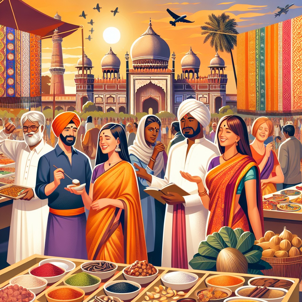
The political boundaries of India are a reflection of its diverse cultural and linguistic landscape. With over 1.3 billion people belonging to various ethnic groups and speaking different languages, India’s political boundaries have been shaped to accommodate this diversity. The country is divided into 28 states and 8 Union territories, each with its own unique identity and administrative structure. The federal structure of India’s political boundaries allows for a degree of autonomy and self-governance at the state and local levels, while also maintaining a strong central government. This complex web of political boundaries has been instrumental in managing the diverse needs and aspirations of India’s population.
Summary
- India’s political boundaries are complex and diverse, reflecting the country’s rich history and cultural diversity.
- Provinces in India serve as administrative divisions, each with its own government and legislative assembly.
- Districts play a crucial role in local governance and jurisdiction, overseeing various aspects of public administration and development.
- India’s historical boundaries have greatly influenced its current political landscape, with many regions still bearing the marks of past empires and kingdoms.
- The political boundaries of India are not without challenges and controversies, including border disputes and issues related to federalism and regional autonomy.
- The impact of India’s political boundaries on society and economy is significant, shaping everything from resource distribution to cultural identity.
- The future prospects for India’s political boundaries are likely to involve ongoing debates and negotiations, as the country continues to evolve and grow.
Provinces: Administrative Divisions of India
India’s administrative divisions, known as states and Union territories, play a crucial role in the governance and administration of the country. The states are the primary administrative units of India and are further divided into districts for local governance. Each state has its own elected government, headed by a Chief Minister, and a state legislature that enacts laws on subjects within its jurisdiction. The Union territories, on the other hand, are directly governed by the central government, with some having their own legislative assemblies and others being administered by a Lieutenant Governor appointed by the President of India.
The administrative divisions of India are not only based on geographical considerations but also take into account historical, cultural, and linguistic factors. The reorganization of states in 1956 and 2000 was a significant development in India’s political boundaries, leading to the creation of new states based on linguistic and ethnic considerations. This reorganization aimed to address the linguistic and cultural diversity of the country and provide for better governance and administration. The administrative divisions of India play a crucial role in ensuring effective governance, resource allocation, and development planning at the regional level.
Districts: Local Governance and Jurisdiction
At the grassroots level, India’s political boundaries are defined by its districts, which are the basic units of local governance and administration. The country is divided into 718 districts, each with its own district collector or deputy commissioner responsible for administration and development. Districts play a crucial role in implementing government policies, delivering public services, and maintaining law and order at the local level. They are also important for electoral purposes, as they form the basis for conducting elections at various levels of government.
The districts of India are not only administrative units but also serve as centres of cultural, economic, and social activities. They are often defined by their historical significance, natural resources, and economic activities. The jurisdiction of districts extends to various aspects of governance, including land administration, revenue collection, law enforcement, and welfare programs. The decentralization of power to the district level has been a key feature of India’s governance structure, allowing for greater citizen participation and local decision-making. However, challenges such as unequal development, resource allocation, and administrative capacity have also been associated with district-level governance in India.
Historical Boundaries: Influence of India’s Past on Current Political Boundaries
The political boundaries of India have been significantly influenced by its historical developments, including ancient empires, colonial rule, and independence movements. The territorial boundaries of modern-day India have been shaped by the conquests of various empires such as the Mauryan, Gupta, Mughal, and British empires. These historical developments have left a lasting impact on India’s political boundaries, with many regions retaining their cultural and linguistic identities.
The partition of British India in 1947 into India and Pakistan led to significant changes in the political boundaries of the subcontinent. The partition was based on religious lines, leading to the creation of two separate nations – India with a Hindu majority and Pakistan with a Muslim majority. This event resulted in mass migrations, communal violence, and the redrawing of political boundaries along religious lines. The legacy of partition continues to influence India’s political landscape, with ongoing tensions and conflicts over territorial disputes in regions such as Jammu and Kashmir.
Challenges and Controversies Surrounding India’s Political Boundaries
India’s political boundaries have been a source of various challenges and controversies, ranging from territorial disputes with neighbouring countries to internal conflicts over statehood and autonomy. The border disputes with China in the northern regions of Ladakh and Arunachal Pradesh have been a longstanding issue, leading to occasional tensions and military standoffs. The unresolved border issues with Pakistan in Jammu and Kashmir have also been a source of conflict between the two countries.
Internally, India has faced challenges related to statehood demands from various regions seeking greater autonomy and recognition of their cultural identity. The demand for separate statehood from regions such as Telangana, Gorkhaland, and Bodoland has led to political movements and agitations, often resulting in violence and disruption. The issue of sharing river waters between states has also been a contentious issue, leading to inter-state disputes and legal battles.
Impact of Political Boundaries on India’s Society and Economy
The political boundaries of India have had a profound impact on its society and economy. The diverse cultural and linguistic identities within the country have been both a source of strength and a challenge for governance and social cohesion. The federal structure of India’s political boundaries has allowed for the preservation of regional identities while maintaining a unified national identity. However, it has also led to disparities in development, resource allocation, and access to opportunities among different states.
Economically, the political boundaries have influenced patterns of trade, investment, and development across different regions. States with better infrastructure, governance, and industrial development have attracted more investment and economic activity, leading to regional disparities in income and wealth. The presence of international borders has also influenced trade relations with neighbouring countries, impacting cross-border trade and economic cooperation.
Future Prospects for India’s Political Boundaries
The future prospects for India’s political boundaries are likely to be shaped by various factors such as demographic changes, economic development, technological advancements, and geopolitical dynamics. With a growing population and urbanization trends, there may be a need for further reorganization of administrative divisions to accommodate the changing needs of governance and development. The demand for greater autonomy from certain regions may lead to further debates on statehood and decentralization of power.
Geopolitically, India’s political boundaries will continue to be influenced by its relations with neighbouring countries and global powers. The resolution of border disputes with China and Pakistan will be crucial for maintaining peace and stability in the region. The impact of climate change on natural resources and territorial boundaries may also become a significant factor in shaping future political boundaries.
In conclusion, India’s political boundaries are a reflection of its diverse history, culture, and governance structure. The administrative divisions at the state and district levels play a crucial role in ensuring effective governance and development planning. However, challenges such as territorial disputes, statehood demands, and regional disparities continue to shape India’s political landscape. The future prospects for India’s political boundaries will be influenced by various internal and external factors that will require careful consideration and strategic planning to ensure peace, stability, and inclusive development for all its citizens.
FAQs
What are the political boundaries of India?
The political boundaries of India are divided into states and union territories. As of 2021, India has 28 states and 8 union territories.
What are the provinces in India?
India does not have provinces. The country is divided into states and union territories.
What are the districts in India?
India is divided into districts, which are the third-level administrative divisions of the country. As of 2021, there are 718 districts in India.
What are historical boundaries in India?
Historical boundaries in India refer to the territorial divisions that existed in the past, such as during the rule of different empires and kingdoms. These boundaries have evolved over time and have influenced the current political boundaries of the country.