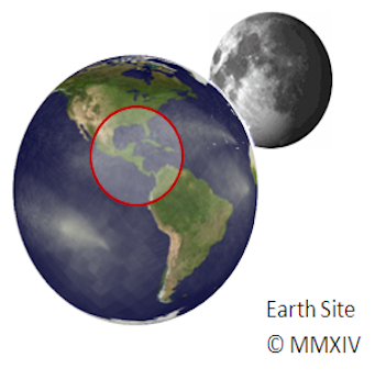
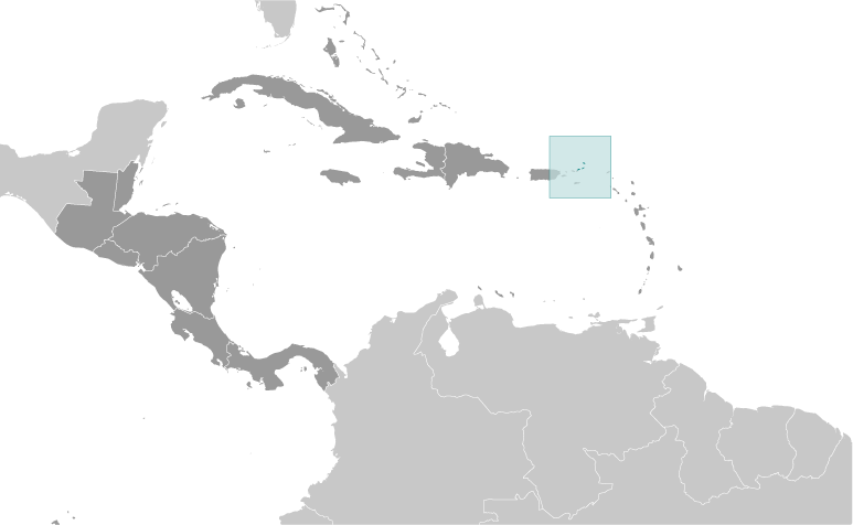
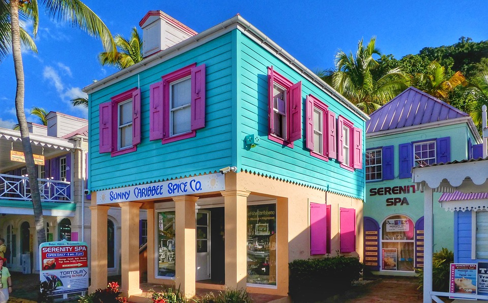
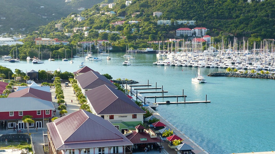
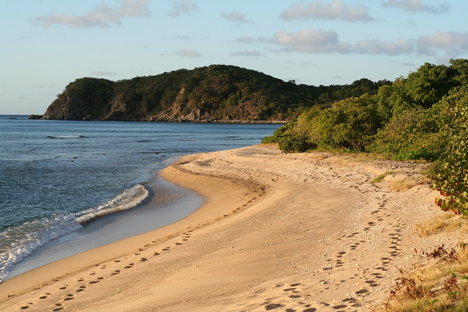
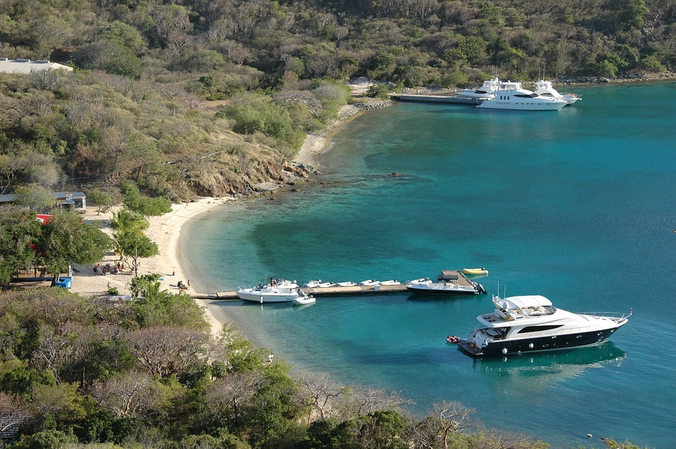
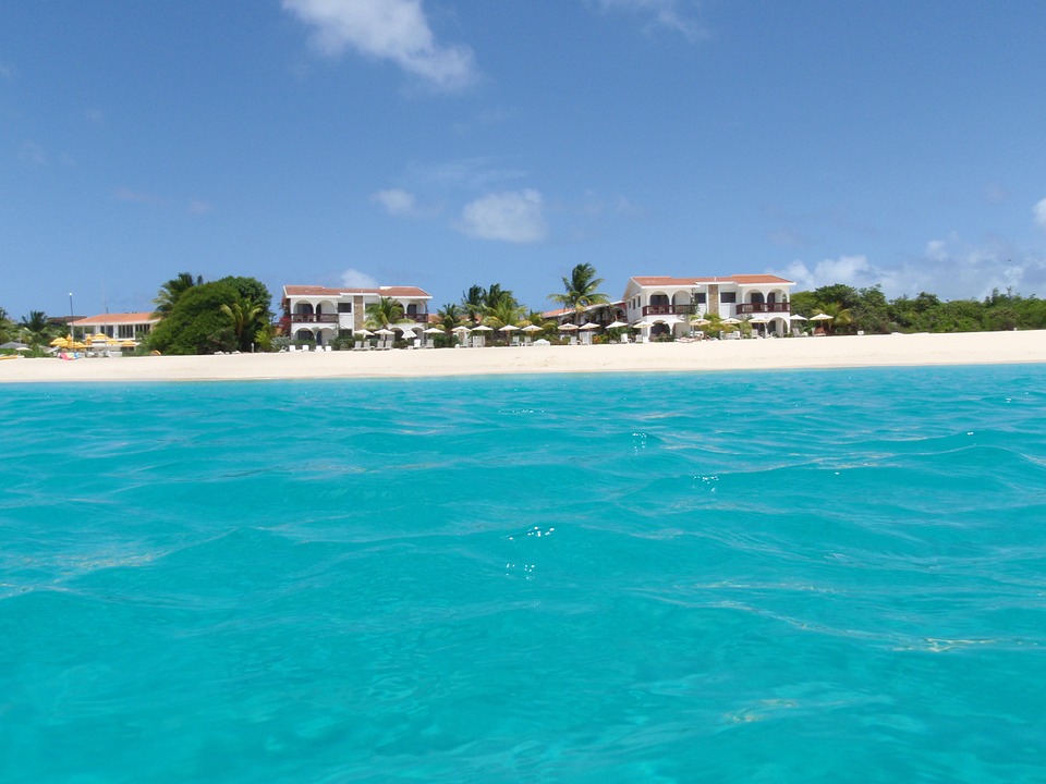
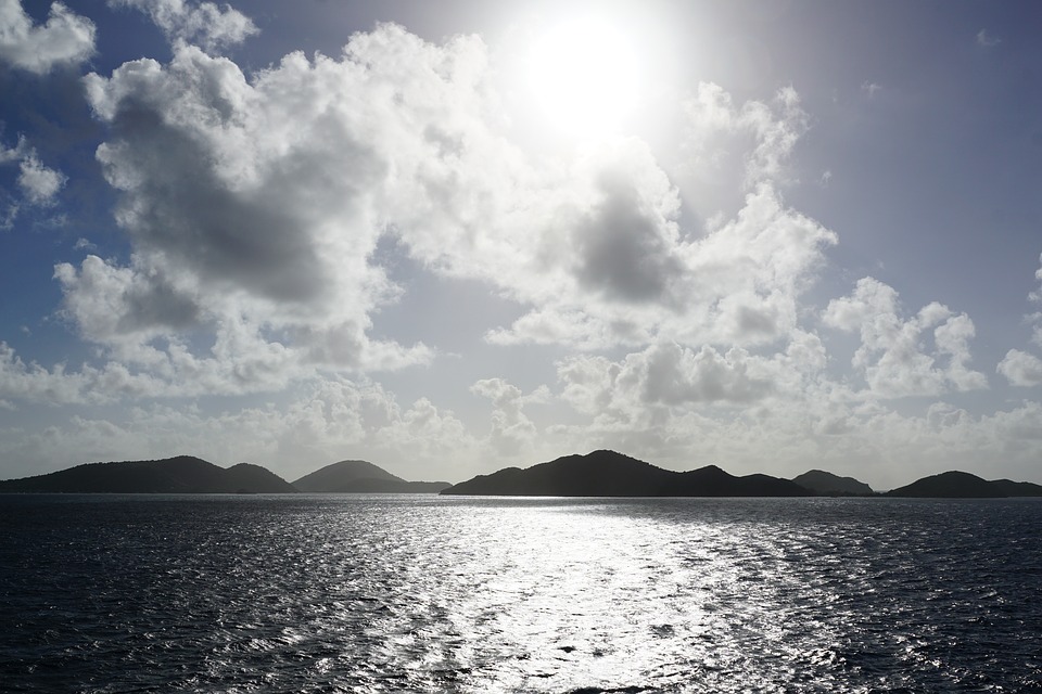
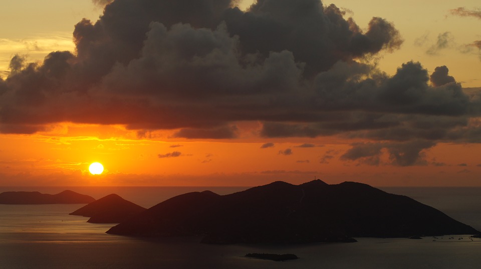
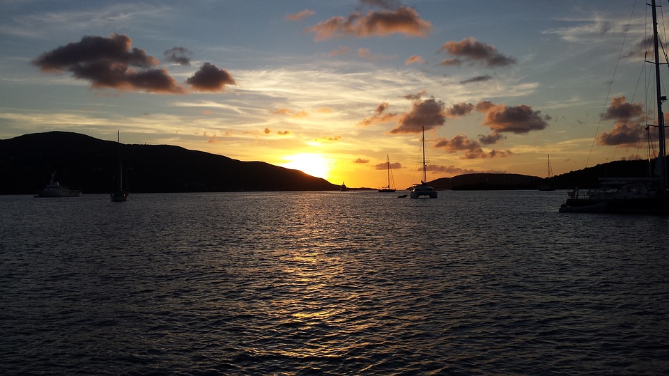
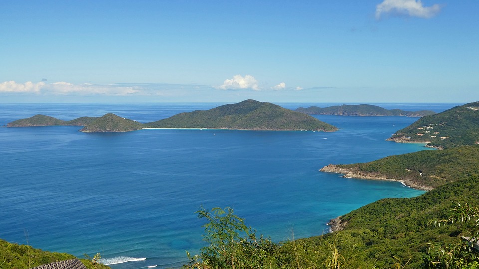
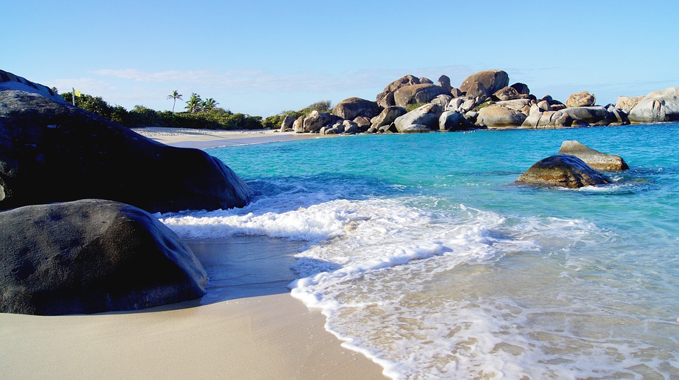
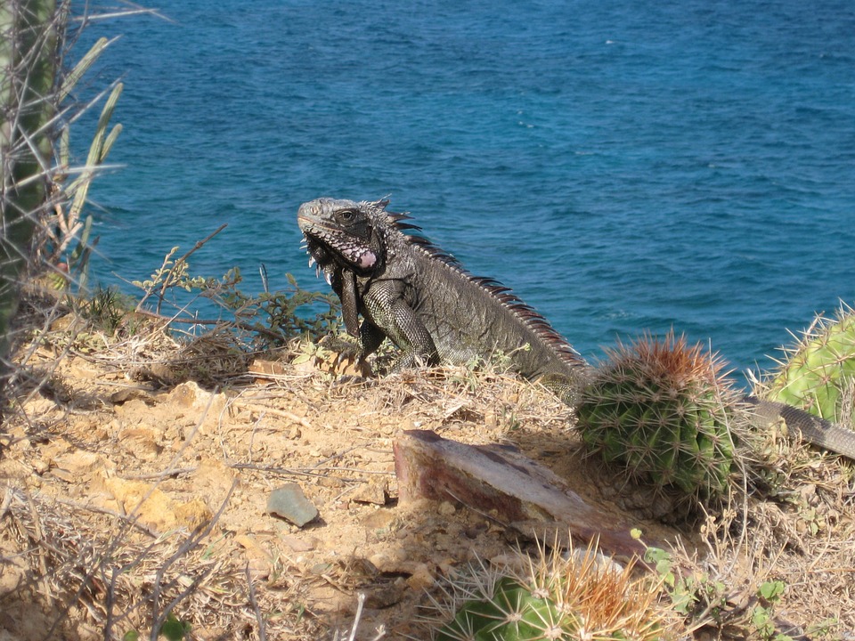
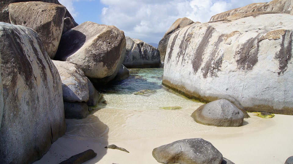
British Virgin Islands
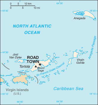

Capital of the British Virgin Islands : Road Town, Tortola
Population (Estimated July 2012): 31,148
Area: 153 km2 or 59 mi2
Currency: U.S. Dollar (U.S.$)
Official Language: English
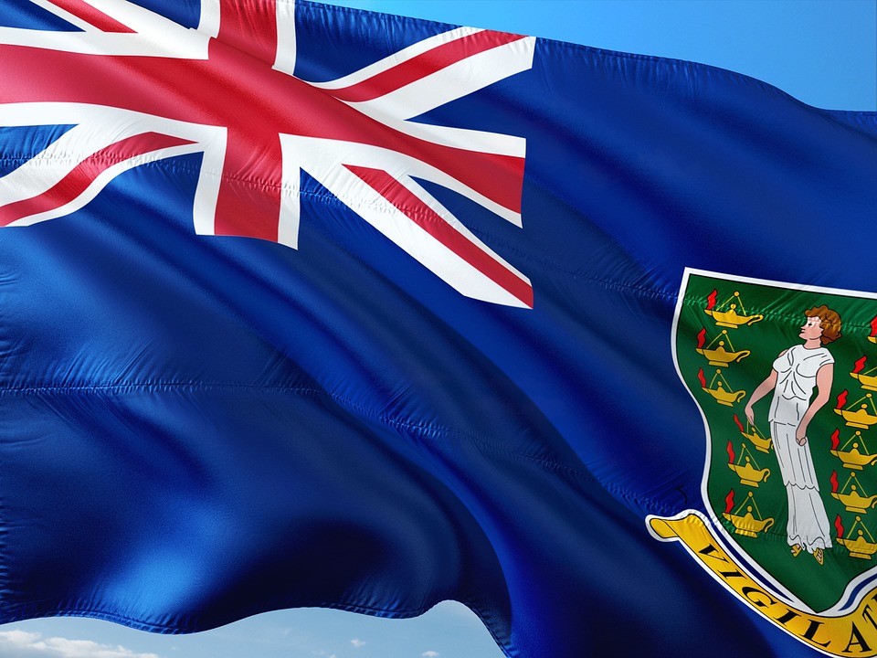
Political Information: Overseas Territory of the UK
Official Religion: No Official Religion (approximately 84% of the population are Protestant, 10% are Roman Catholic, 2% are Jehova’s Witness, 2% have other religious beliefs and 2% have no religious beliefs)
Highest Mountain: Mount Sage at 521m or 1,709ft
GDP Official Exchange Rate (OER is more precise at gauging a countries economic power)
(Estimated 2008): $1.095 billion (US$) or £657 million (GBP)
GDP (OER) Per Capita (per member of the population estimated 2011): (US$) or (GBP)
GDP Purchasing Power Parity (PPP is good for gauging living conditions and use of resources but not as accurate as OER. This data has been calculated based on the sum value of all goods and services produced in the country valued at prices prevailing in the United States)
(Estimated 2004): $853.4 million (US$) or £512 million (GBP)
GDP (PPP) Per Capita (per member of the population estimated 2004): $38,500 (US$) or £23,100 (GBP)
Time Zone (GMT/UTC): -4:00
Counties/Provinces/States: Four Large islands of Tortola, Anegada, Virgin Gorda and Jost Van Dyke. Thirty two small islands and islets including Great Tobago, Salt, Peter, Cooper, Norman, Guana, Beef, Great Thatch, Little Thatch, and Marina Cay.
Leaders: H.M. Queen Elizabeth II with William Boyd McCleary as Governor, Vivian Inez Archibald as Deputy Governor and Orlando Smith as Premier
Sources: CIA World Fact Book, Encyclopaedia Britannica.

No Results Found
The page you requested could not be found. Try refining your search, or use the navigation above to locate the post.


