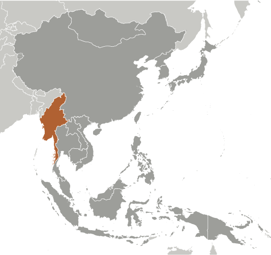
Burma

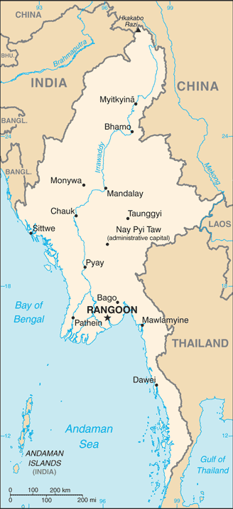


Capital: Rangoon (Yangon)
Note: Nay Pyi Taw is the administrative capital
Population (Estimated July 2012): 54,584,650
Area: 676,577km2 or 261,228mi2
Currency: Myanmar Kyat (K)
Official Language: Myanmar (Burmese)
Political Information: Presidential Republic
Official Religion: No Official Religion
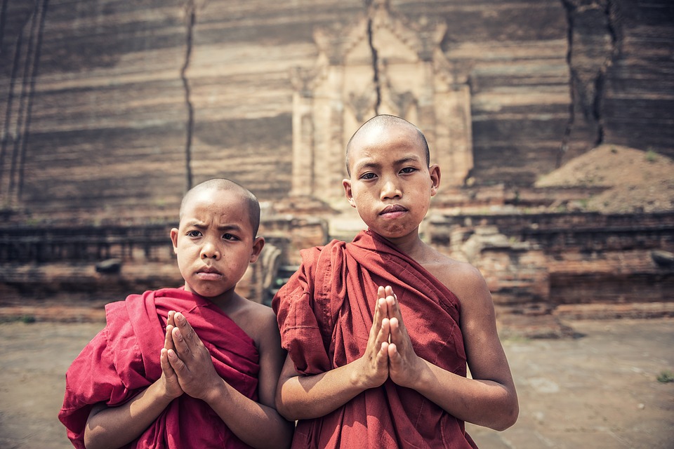
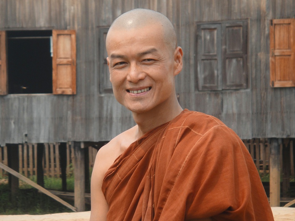
(approximately 89% of the population is Buddhist, 4% is Christian, 4% is Muslim, 1% is Animist and 2% follow other faiths).
Highest Mountain: Hkakabo Razi at 5,881m or 19,295ft
GDP Official Exchange Rate (OER is more precise at gauging a countries economic power)
(Estimated 2011): $50.2 billion (US$) or £30,120 million (GBP)
GDP (OER) Per Capita (per member of the population estimated 2011): (US$) or (GBP)
GDP Purchasing Power Parity (PPP is good for gauging living conditions and use of resources but not as accurate as OER. This data has been calculated based on the sum value of all goods and services produced in the country valued at prices prevailing in the United States)
(Estimated 2011): $82.72 billion (US$) or £49,632 million (GBP)
GDP (PPP) Per Capita (per member of the population estimated 2011): $1,300 (US$) or £780 (GBP)
Time Zone (GMT/UTC): +6:30
Counties/Provinces/States: 7 regions (taing-myar, singular – taing) and 7 states (pyi ne-myar, singular – pyi ne)
regions: Ayeyarwady, Bago, Magway, Mandalay, Sagaing, Tanintharyi, Yangon
states: Chin, Kachin, Kayah, Kayin, Mon, Rakhine (Arakan), Shan
Leaders: President WIN MYINT (since 30 March 2018); Vice Presidents President MYINT SWE (since 16 March 2016) and HENRY VAN THIO (since 30 March 2016); note – President HTIN KYAW (since 30 March 2016) resigned on 21 March 2018; the president is both chief of state and head of government
Additional: Gained independence from the U.K. on the 4th of January 1948.
Sources: CIA World Fact Book, Encyclopaedia Britannica.


Political Boundaries of Myanmar: Provinces, Districts, or Historical Boundaries.
Myanmar, formerly known as Burma, is a nation situated in Southeast Asia. It shares borders with Bangladesh, India, China, Laos and Thailand. The country boasts a diverse populace comprising various ethnic groups and languages. Myanmar‘s political boundaries have undergone changes over time due to historical, cultural and geopolitical influences. The nation is divided into states and regions, each possessing distinct characteristics and governance structures. These political boundaries have played a crucial role in shaping Myanmar’s history, culture and national identity. The political boundaries of Myanmar have been a source of contention and debate, particularly in relation to the country’s ethnic diversity. Myanmar’s complex history has given rise to various challenges and controversies surrounding its political boundaries. The future of these boundaries remains a topic of interest as the nation continues to progress towards democracy and national unity. This article will examine the provinces, regions, districts and townships of Myanmar, as well as the historical and contemporary impact of political boundaries on the country’s ethnic groups. Additionally, it will address the challenges and controversies surrounding Myanmar’s political boundaries and consider the future implications of these boundaries on the nation’s governance and identity. Summary Myanmar’s political boundaries have evolved over time and have a significant impact on the country’s governance and ethnic diversity. The country is divided into 14 states and regions, each with its own unique cultural and geographical characteristics. Districts and townships further divide Myanmar’s administrative regions, providing a more localized level of governance. Historical boundaries of Myanmar have been shaped by colonialism, wars, and political agreements, influencing the country’s current territorial integrity. Political boundaries in Myanmar have contributed...

Climate Zones of Myanmar: Different climate regions Of Myanmar
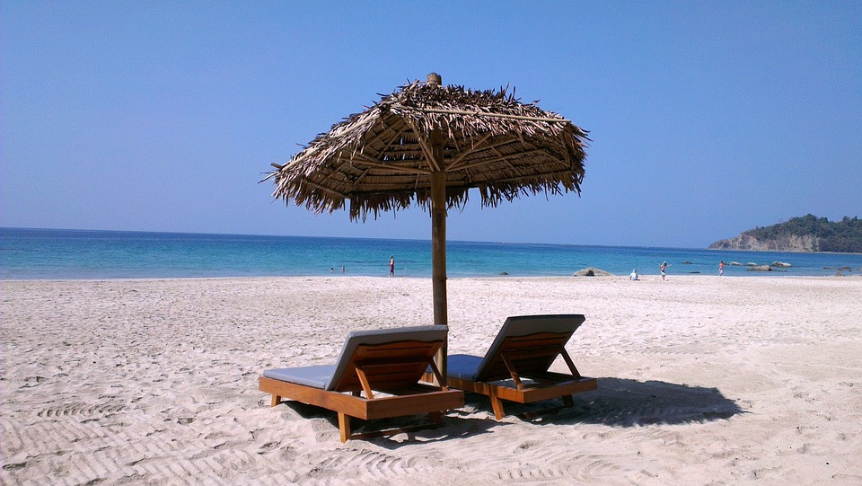
Myanmar, also known as Burma, is a nation situated in Southeast Asia. It shares borders with India and Bangladesh to the west, China to the north and northeast, Laos and Thailand to the east, and is bounded by the Andaman Sea and the Bay of Bengal to the south. The country’s varied topography and geographical position contribute to its diverse range of climate zones. Myanmar‘s climate can be categorised into six primary zones: tropical monsoon climate in the coastal regions, temperate climate in the central highlands, arid climate in the dry zone, subtropical climate in the Shan Plateau, and alpine climate in the northern mountains. Each of these climate zones exerts a considerable influence on the nation’s biodiversity, agriculture, and overall way of life. Summary Myanmar has a diverse range of climate zones, each with its own unique characteristics and impact on the country’s biodiversity. The coastal regions experience a tropical monsoon climate, with heavy rainfall during the wet season and high temperatures year-round. The central highlands have a temperate climate, with cooler temperatures and distinct wet and dry seasons. The dry zone in central Myanmar has an arid climate, with very little rainfall and high temperatures, making it a challenging environment for biodiversity. The Shan Plateau has a subtropical climate, with milder temperatures and distinct wet and dry seasons, supporting a diverse range of plant and animal species. Tropical Monsoon Climate in the Coastal Regions The coastal regions of Myanmar, including the Irrawaddy Delta and the Rakhine State, experience a tropical monsoon climate. This climate is characterized by high temperatures, heavy rainfall, and high humidity throughout the year....

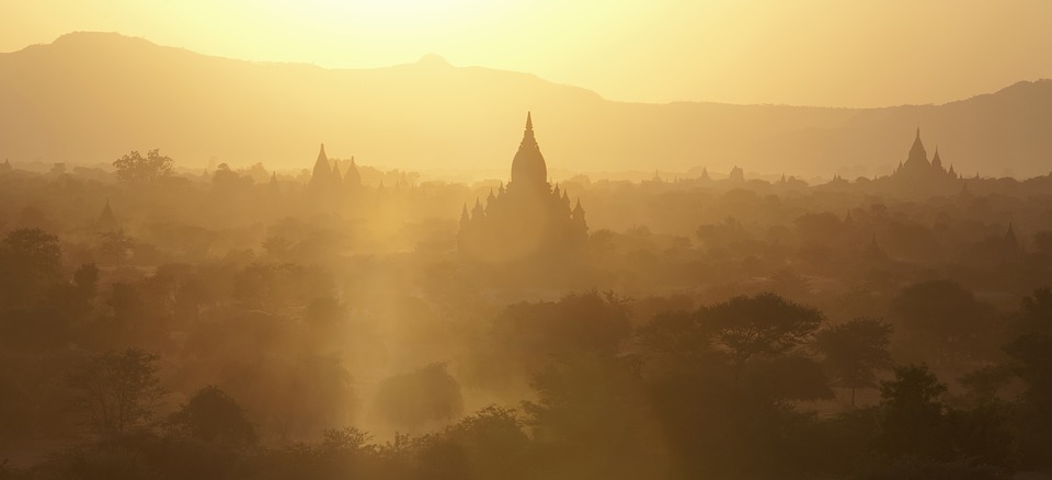
Terrain and Topography of Myanmar: mountains, valleys, and plains.
Myanmar, also known as Burma, is a country situated in Southeast Asia, bordered by Bangladesh, India, China, Laos and Thailand. The nation’s terrain and topography are remarkably diverse, encompassing mountain ranges, valleys, plateaus and expansive plains. This varied landscape significantly influences Myanmar‘s climate, biodiversity and natural resources. A comprehensive understanding of the country’s terrain and topography is essential for appreciating its natural beauty and recognising the challenges it faces regarding environmental conservation and sustainable development. The terrain of Myanmar is characterised by its mountainous regions, which occupy a considerable portion of the country. These mountain ranges are interspersed with valleys and plateaus, creating a diverse and visually striking landscape. The plains, particularly in the central and southern regions, are also a crucial component of Myanmar’s topography. The Irrawaddy River, one of the nation’s most significant waterways, traverses the central plains, shaping the land and providing vital resources for agriculture and transportation. In sum, Myanmar’s terrain and topography exemplify the country’s natural beauty and underscore the importance of preserving its diverse landscapes for future generations. Summary Myanmar’s terrain and topography are diverse, ranging from mountains and valleys to plains and plateaus. The mountain ranges in Myanmar, including the Himalayas and the Shan Hills, offer breathtaking views and opportunities for trekking and adventure. The lush valleys and plateaus of Myanmar are home to fertile lands and rich biodiversity, making them important for agriculture and conservation efforts. The vast plains of Myanmar, such as the Irrawaddy and Sittaung River plains, are crucial for agriculture and provide important habitats for wildlife. The varied terrain and topography of Myanmar greatly influence its climate, with...

History of Myanmar
Myanmar, also known as Burma, possesses a rich and diverse history spanning thousands of years. The earliest known civilisation in the region was that of the Pyu people, who settled in the central plains of Myanmar circa the 2nd century BCE. They established several city-states, including Sri Ksetra, which developed into a significant centre of trade and culture in the area. The Pyu people were adept in agriculture, trade and craftsmanship, leaving behind a legacy of impressive city walls, moats and Buddhist stupas. In the 9th century, the Mon people, having migrated from present-day Thailand, established the city of Thaton in southern Myanmar. The Mon were renowned for their advanced irrigation systems, art and literature, and they played a crucial role in shaping the culture and traditions of Myanmar. The Mon city-states were notable for their intricate architecture, exemplified by the famous Shwemawdaw Pagoda, which remains a testament to their craftsmanship and religious devotion. The Mon people also introduced Theravada Buddhism to the region, which continues to be the predominant religion in Myanmar to this day. Summary Myanmar has a rich history of early civilizations, including the Pyu, Mon, and Bamar peoples, dating back to the 1st century AD. The Pagan Empire, which reached its peak in the 11th and 12th centuries, was a powerful and influential force in Southeast Asia before its decline in the 13th century. British colonial rule in Myanmar began in the 19th century and lasted until the country gained independence in 1948, leading to a period of political instability and ethnic tensions. The military junta took control of Myanmar in 1962, leading to decades...

Population Density of Myanmar
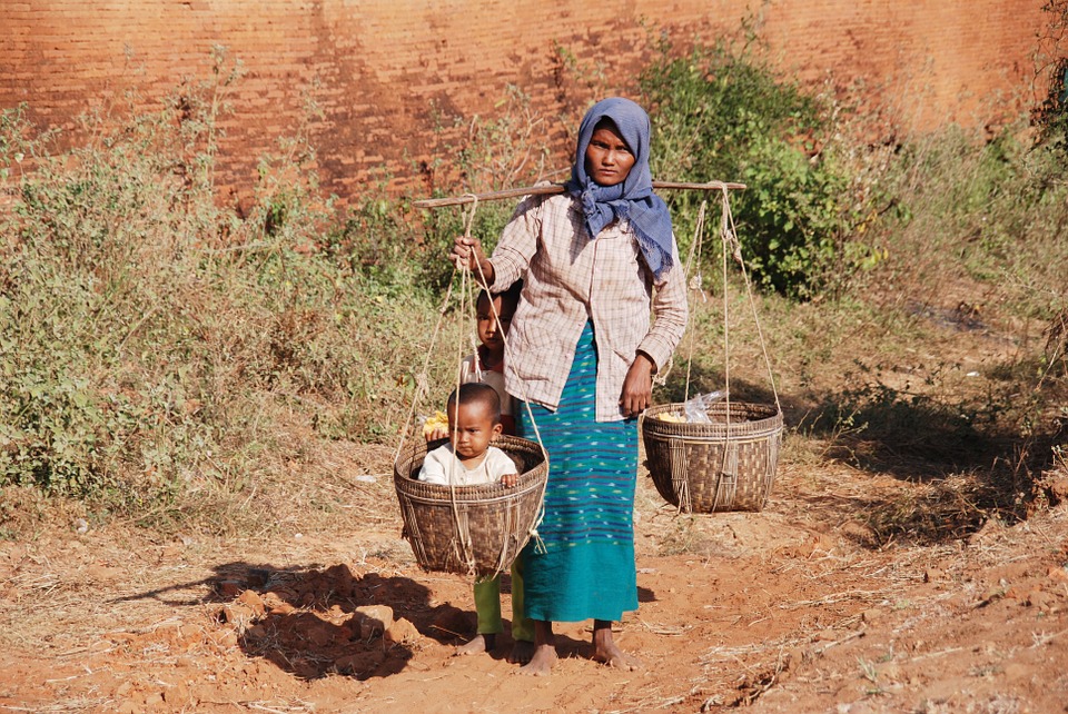
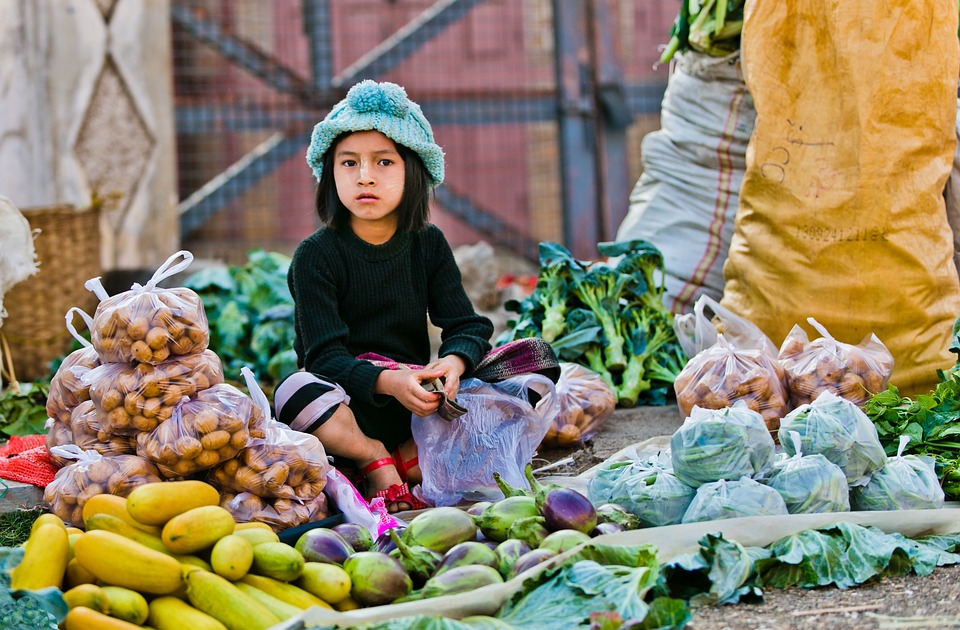
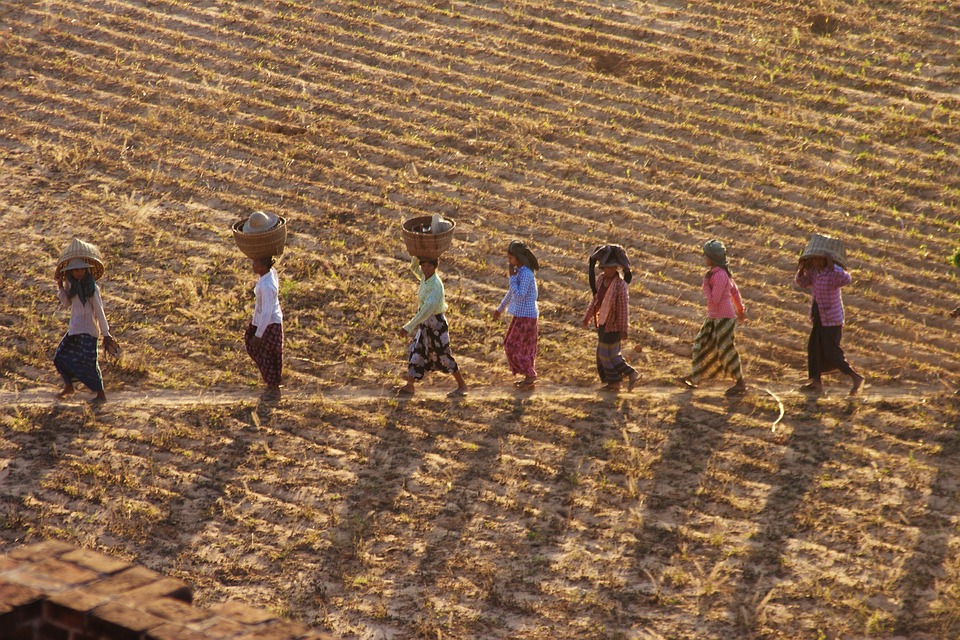
Myanmar, also known as Burma, is a country situated in Southeast Asia. It shares borders with India, Bangladesh, China, Laos and Thailand. Encompassing a total land area of 676,578 square kilometres, Myanmar ranks as the 40th largest country globally. The nation’s population is estimated at approximately 54 million inhabitants, placing it as the 26th most populous country worldwide. Myanmar’s population density stands at roughly 76 people per square kilometre, which is comparatively low for the region. However, this density is not uniformly distributed across the country, with certain areas experiencing higher concentrations of inhabitants than others. Comprehending the factors influencing Myanmar’s population distribution and the effects of population density on infrastructure and resources is essential for effective population management within the country. Summary Myanmar has a population density of 83 people per square kilometre, making it one of the least densely populated countries in Asia. Factors contributing to Myanmar’s population distribution include ethnic diversity, historical migration patterns, and geographical features such as mountains and rivers. The majority of Myanmar’s population resides in rural areas, with only 30% living in urban areas, leading to disparities in access to resources and infrastructure. The population density in Myanmar has put a strain on infrastructure and resources, particularly in urban areas, leading to challenges in providing adequate services and amenities. Managing population density in Myanmar presents both challenges, such as addressing rural-urban disparities, and opportunities, such as promoting sustainable development and equitable resource distribution. Factors Contributing to Myanmar’s Population Distribution Geographical Diversity Several factors contribute to the uneven distribution of population in Myanmar. One of the main factors is the geographical diversity of...

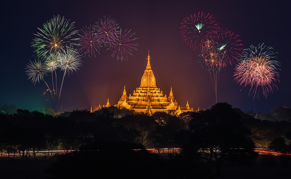
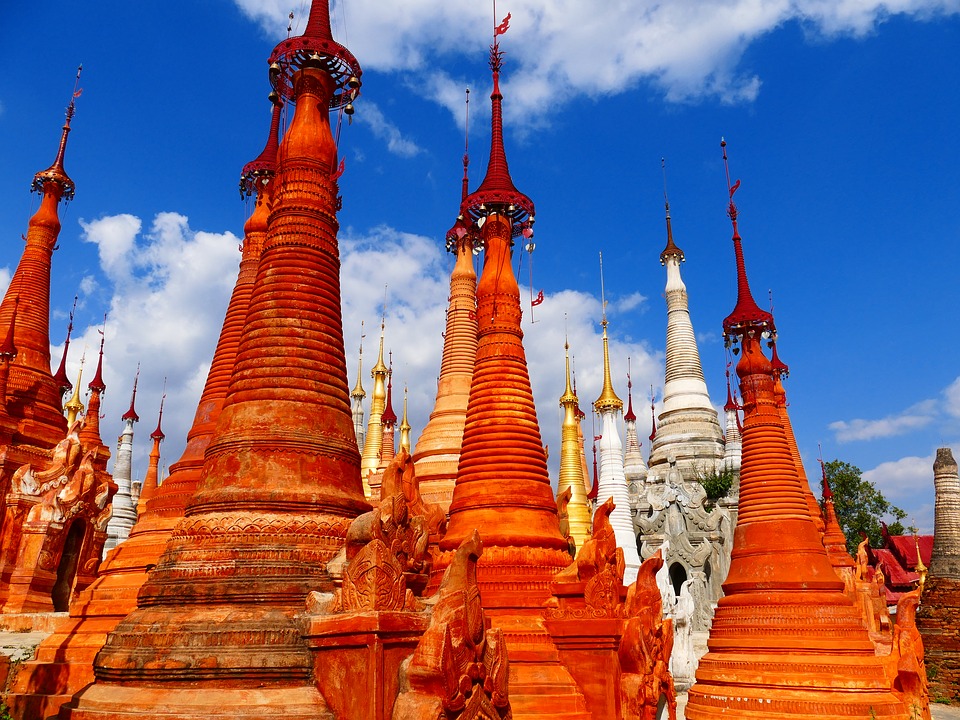
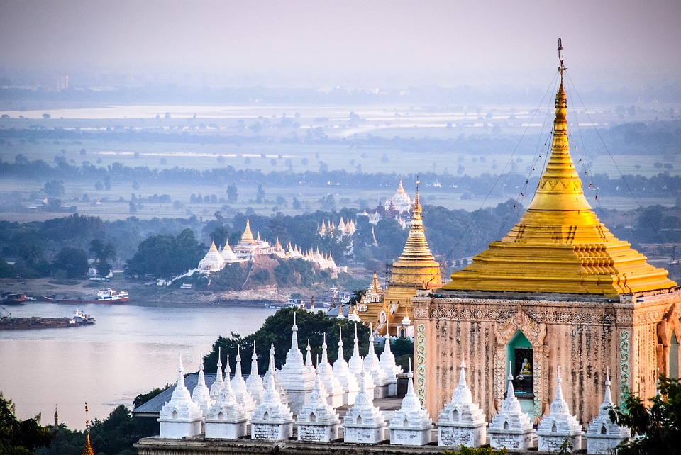
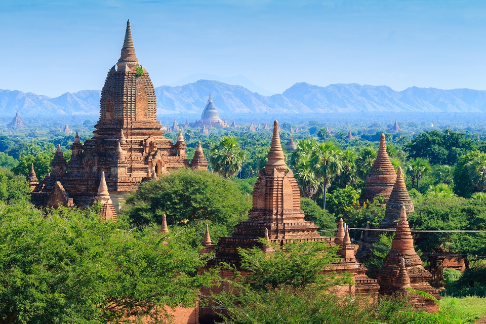
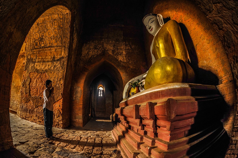
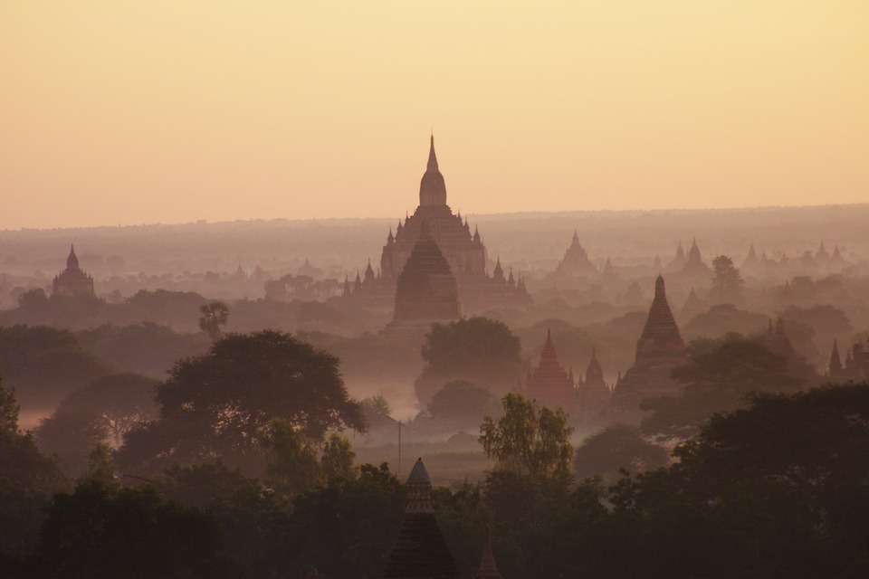
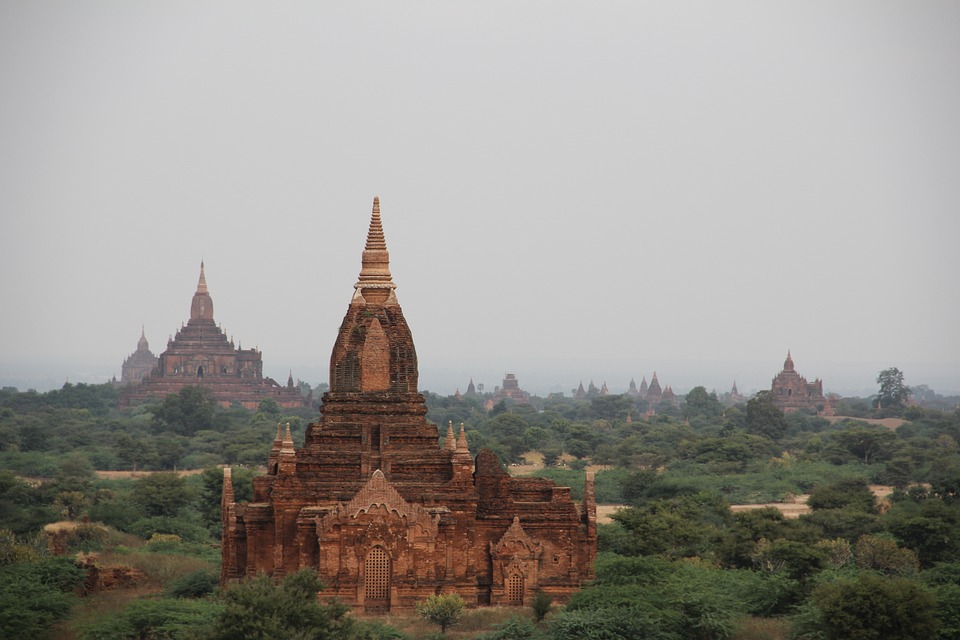
Cultural or Historical Sites of Myanmar: Important Cultural Landmarks or Historical Sites In Myanmar
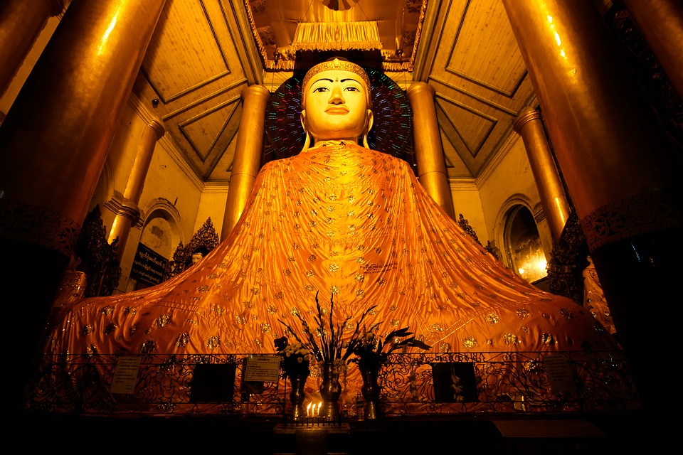
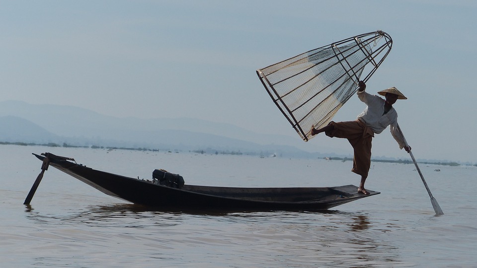
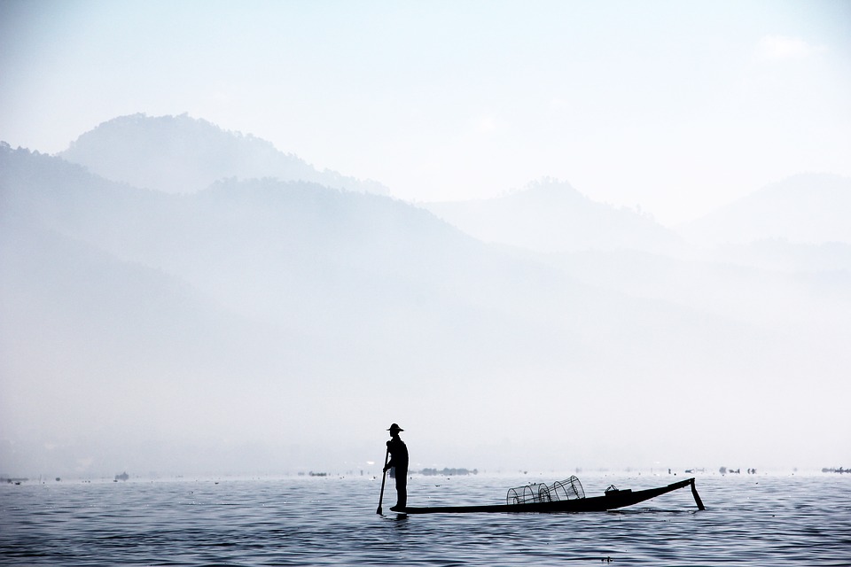
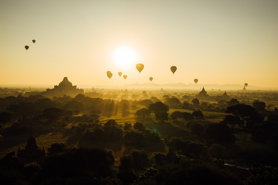
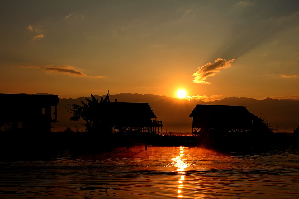
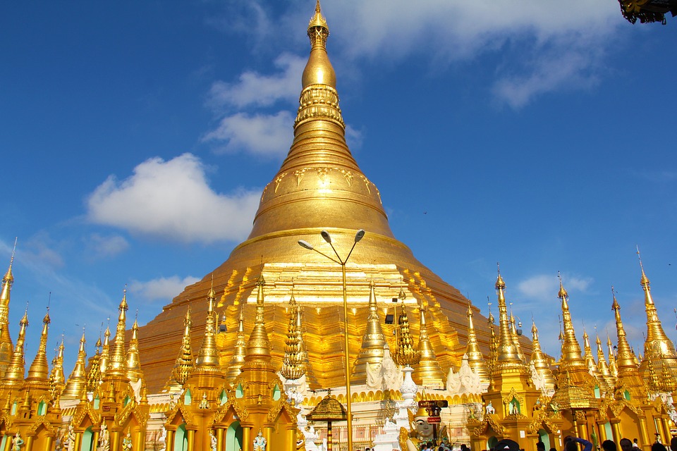
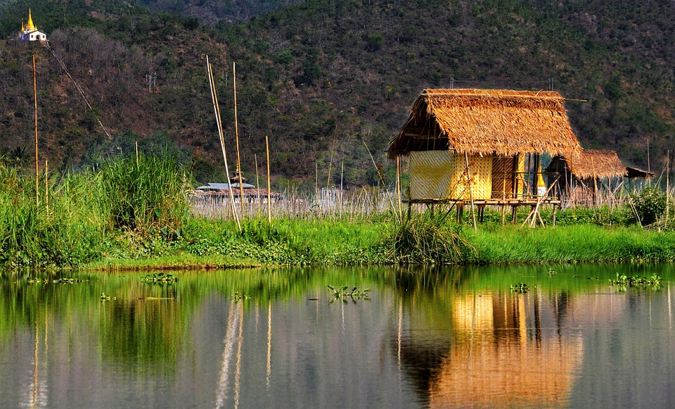
The Shwedagon Pagoda, also known as the Great Dagon Pagoda, is a significant symbol of Myanmar’s spiritual heritage. Located in the centre of Yangon, this prominent pagoda is thought to be over 2,600 years old, making it one of the oldest pagodas globally. The main stupa, covered in more than 27 metric tonnes of gold leaf, shines brightly in the sunlight and is visible from great distances, dominating the city’s skyline. The pagoda complex also houses numerous other stupas, statues and shrines, presenting a remarkable sight. The Shwedagon Pagoda holds considerable religious importance for the people of Myanmar, as it contains relics of four previous Buddhas, including eight hairs of Gautama Buddha. Pilgrims and visitors from across the globe visit this sacred site to pay homage, make offerings and experience the spiritual atmosphere. The pagoda is particularly striking at sunset when the golden stupa appears to emit an ethereal glow. The surrounding courtyards and walkways are filled with the sound of chanting and the aroma of incense, creating a tranquil and meditative environment. For those wishing to experience the spiritual essence of Myanmar, a visit to the Shwedagon Pagoda is considered essential. Summary The Shwedagon Pagoda is a symbol of Myanmar’s spiritual heritage and is a must-visit for anyone exploring the country. Bagan is a UNESCO World Heritage Site and offers a glimpse into Myanmar’s ancient history and architectural brilliance. The Royal Palace of Mandalay provides a fascinating insight into Myanmar’s royal history and is a must-see for history enthusiasts. The temples of Inle Lake are a testament to Myanmar’s architectural brilliance and are a must-visit for anyone interested...

Natural Resources of Myanmar: Where Natural Resources are located In Myanmar
Myanmar possesses a wealth of natural resources, including a diverse array of minerals, timber, water, agricultural products and energy sources. The nation’s geographical position and topographical features contribute to its abundance of natural resources, rendering it a significant player in the regional economy. Myanmar‘s natural resources have been both a catalyst for economic growth and a source of environmental challenges, as the country endeavours to strike a balance between resource exploitation and sustainable management practices. The natural resources of Myanmar play a vital role in the nation’s economy, providing employment opportunities and contributing substantially to the gross domestic product. However, the exploitation of these resources has also resulted in environmental degradation and social conflicts. The Myanmar government has been striving to improve the management and conservation of its natural resources to ensure sustainable development for future generations. With its rich and diverse natural resources, Myanmar has the potential to become a key player in the global market, provided it can effectively manage and conserve its resources for long-term sustainability. Summary Myanmar is rich in natural resources including minerals, timber, water, agriculture, and energy. The country has significant mineral resources such as jade, ruby, and gold, making it a key player in the global mining industry. Myanmar’s timber and forest resources are under threat due to deforestation and illegal logging, leading to environmental degradation and loss of biodiversity. The country’s water resources, including rivers and lakes, are crucial for agriculture, hydropower, and domestic use, but are facing challenges such as pollution and over-extraction. Agriculture is a major sector in Myanmar, with rice, pulses, and oilseeds being the main crops, but...

Myanmar
Myanmar (Republic of the Union of Myanmar or Burma) Capital: Rangoon (Yangon)Note: Nay Pyi Taw is the administrative capital Population (Estimated July 2012): 54,584,650 Area: 676,577km2 or 261,228mi2 Currency: Myanmar Kyat (K) Official Language: Myanmar (Burmese) Political Information: Presidential Republic Official Religion: No Official Religion(approximately 89% of the population is Buddhist, 4% is Christian, 4% is Muslim, 1% is Animist and 2% follow other faiths). Highest Mountain: Hkakabo Razi at 5,881m or 19,295ft GDP Official Exchange Rate (OER is more precise at gauging a country’s economic power) (Estimated 2011): $50.2 billion (US$) or £30,120 million (GBP) GDP (OER) Per Capita (per member of the population estimated 2011): (US$) or (GBP) GDP Purchasing Power Parity (PPP is good for gauging living conditions and the use of resources but not as accurate as OER. This data has been calculated based on the sum value of all goods and services produced in the country valued at prices prevailing in the United States) (Estimated 2011): $82.72 billion (US$) or £49,632 million (GBP) GDP (PPP) Per Capita (per member of the population estimated 2011): $1,300 (US$) or £780 (GBP) Time Zone (GMT/UTC): +6:30 Wildlife: Counties/Provinces/States: 7 regions (taing-myar, singular – taing) and 7 states (pyi ne-myar, singular – pyi ne) regions: Ayeyarwady, Bago, Magway, Mandalay, Sagaing, Tanintharyi, Yangon states: Chin, Kachin, Kayah, Kayin, Mon, Rakhine (Arakan), Shan Leaders: President Thein Sein with Vice Presidents Sai Mouk Kham. Additional: Gained independence from the U.K. on the 4th of January 1948. Sources: CIA World Fact Book, Encyclopaedia Britannica. Myanmar Myanmar, formerly known as Burma, is a Southeast Asian nation bordered by India and Bangladesh to the west, China to the north and northeast, Laos and Thailand to the east, and the Andaman Sea and...


