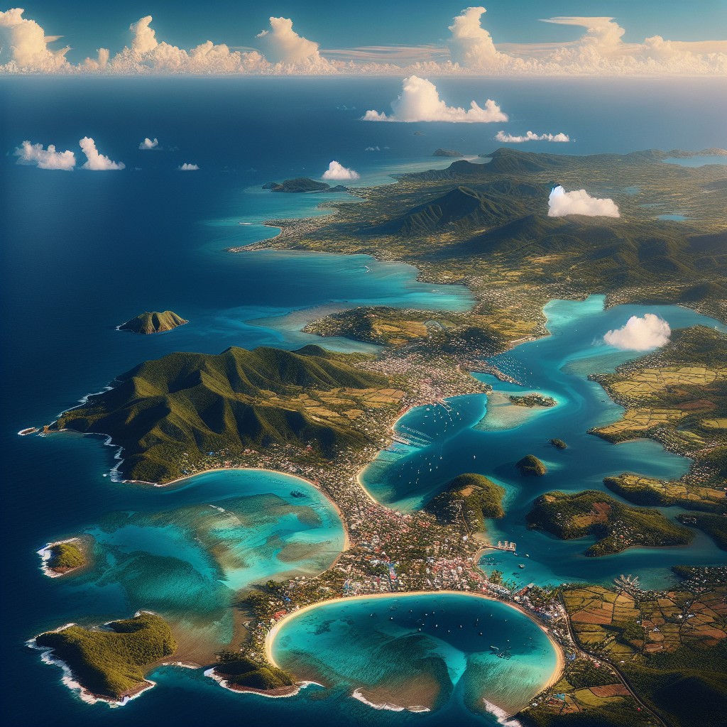
Terrain and Topography of Guadeloupe: mountains, valleys, and plains.
Guadeloupe, an overseas region of France located in the Caribbean, is a stunning archipelago consisting of five main islands. The […]
Terrain and Topography of Guadeloupe: mountains, valleys, and plains. Read More »